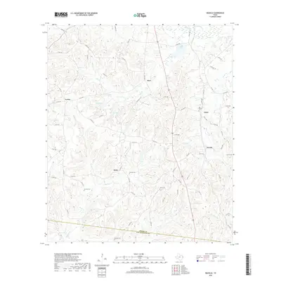
2019 Map of Neuville
USGS Topo · Published 2019About this map
Neuville and Choice anchor the eastern landscape of Shelby County in this modern survey, where the terrain is defined by a dense network of minor tributaries feeding into Mill Cr and Rivers Cr. The area is characterized by scattered small settlements like Brady, Jericho, and Short, each connected by a labyrinth of county roads. Genealogists will find a high concentration of small burial grounds scattered across the countryside, including the Old Buckner Cem and Hamilton Cem. To the south, the map documents the boundary line between Shelby Co and San Augustine Co. Water features such as New City Lake and Hughes Springs suggest the local importance of these smaller catchments in a region dominated by timber and rural land use.
Find a feature on this map
79 named features on this map. Tap any name to fly to it.
Don’t see what you’re looking for? This feature index may not catch every label — zoom into the map to look around manually.
Map Details
Editions of this 2019 Neuville Map
This is the sole edition of this map. No revisions or reprints were ever made.
Other maps of this area

1953 · Palestine
USGS Topo · 1:250,000

1957 · Palestine
USGS Topo · 1:250,000

1958 · Center
USGS Topo · 1:62,500

1958 · San Augustine
USGS Topo · 1:62,500

1958 · Martinsville
USGS Topo · 1:62,500

1958 · Timpson
USGS Topo · 1:62,500

1984 · Palestine
USGS Topo · 1:250,000
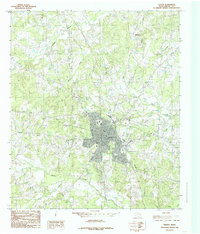
1984 · Center
USGS Topo · 1:24,000
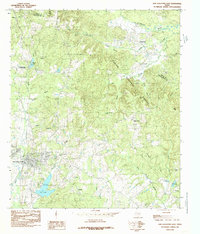
1984 · San Augustine East
USGS Topo · 1:24,000
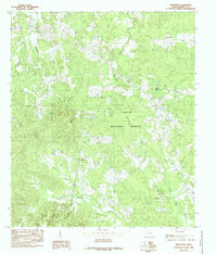
1984 · Hurstown
USGS Topo · 1:24,000