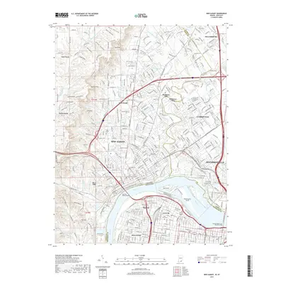
2019 Map of New Albany
USGS Topo · Published 2019About this map
New Albany and its surrounding communities are defined by the wide arc of the Ohio River as it passes the historic Falls of the Ohio. This modern survey reveals the complex urban and natural geography where Indiana meets Kentucky, connected by major spans like the Sherman Minton Bridge and the George Rogers Clark Memorial Bridge. The landscape transitions from the developed streets of Louisville and Jeffersonville to the prominent heights of Floyds Knobs and Spickert Knob to the northwest.
Find a feature on this map
102 named features on this map. Tap any name to fly to it.
Don’t see what you’re looking for? This feature index may not catch every label — zoom into the map to look around manually.
Map Details
Editions of this 2019 New Albany Map
This is the sole edition of this map. No revisions or reprints were ever made.
Other maps of this area

1905 · Prospect
USGS Topo · 1:62,500

1907 · Louisville
USGS Topo · 1:62,500

1909 · Kosmosdale
USGS Topo · 1:48,000

1912 · Prospect
USGS Topo · 1:62,500

1912 · Kosmosdale
USGS Topo · 1:62,500

1937 · Jeffersonville
USGS Topo · 1:24,000

1937 · Charlestown
USGS Topo · 1:24,000

1938 · Speed
USGS Topo · 1:24,000

1939 · New Albany
USGS Topo · 1:24,000

1939 · Georgetown
USGS Topo · 1:24,000