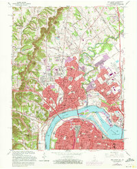
1965 Map of New Albany
USGS Topo · Published 1972About this map
The Ohio River separates the industrial and residential corridors of New Albany and Clarksville from the sprawling urban grid of Louisville during this mid-century period. A notable concentration of Catholic institutions, such as Holy Trinity Sch and Our Lady of Perpetual Help Sch, reflects the cultural heritage of the Indiana shoreline. Navigation and industry define the riverfront, where the McAlpine Locks and McAlpine Dam manage the waters near the Falls of the Ohio. To the northwest, the terrain rises sharply into the knobs, where peaks like Moser Knob and Bald Knob overlook the developing valleys. The transportation network is anchored by the Monon Railroad and the Sherman Minton Bridge, illustrating the region's role as a vital interstate transit point.
Find a feature on this map
108 named features on this map. Tap any name to fly to it.
Don’t see what you’re looking for? This feature index may not catch every label — zoom into the map to look around manually.
Map Details
Editions of this 1965 New Albany Map
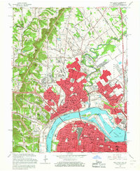
2 editions found
Other maps of this area

1905 · Prospect
USGS Topo · 1:62,500

1907 · Louisville
USGS Topo · 1:62,500

1909 · Kosmosdale
USGS Topo · 1:48,000

1912 · Prospect
USGS Topo · 1:62,500

1912 · Kosmosdale
USGS Topo · 1:62,500

1937 · Jeffersonville
USGS Topo · 1:24,000

1937 · Charlestown
USGS Topo · 1:24,000

1938 · Speed
USGS Topo · 1:24,000

1939 · New Albany
USGS Topo · 1:24,000

1939 · Georgetown
USGS Topo · 1:24,000