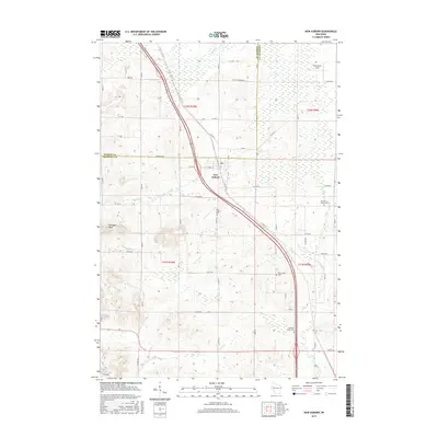
2015 Map of New Auburn
USGS Topo · Published 2015About this map
The village of New Auburn straddles the boundary between Barron and Chippewa Counties, serving as a focal point for a landscape defined by glacial topography and agricultural expansion. This 2015 survey reveals a dense network of country roads, such as Co Hwy SS and Barron Dunn, which follow the section lines of the Public Land Survey System. For local historians and genealogists, the map identifies several burial grounds including New Auburn Cem and Marquardt Cem, reflecting generations of settlement in the region. Waterways like Duncan Cr, Trout Cr, and Sand Cr cut through the terrain, while Old Maids Bluff provides a distinctive high point in the southwestern quadrant. The rural character is further illustrated by the Vetterkind Strip, showing how contemporary land use continues to interact with the natural drainage patterns of Spring Brook and Beaver Cr.
Find a feature on this map
60 named features on this map. Tap any name to fly to it.
Don’t see what you’re looking for? This feature index may not catch every label — zoom into the map to look around manually.
Map Details
Editions of this 2015 New Auburn Map
This is the sole edition of this map. No revisions or reprints were ever made.
Other maps of this area

1948 · Weyerhauser
USGS Topo · 1:48,000

1949 · Bloomer
USGS Topo · 1:62,500

1949 · New Auburn
USGS Topo · 1:62,500

1950 · Weyerhauser
USGS Topo · 1:48,000

1951 · Bloomer
USGS Topo · 1:62,500

1951 · New Auburn
USGS Topo · 1:62,500

1951 · Chetek
USGS Topo · 1:62,500

1953 · Rice Lake
USGS Topo · 1:250,000

1959 · Rice Lake
USGS Topo · 1:250,000
1972 · Chain Lake
USGS Topo · 1:24,000