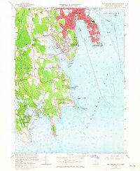
1963 Map of New Bedford South
USGS Topo · Published 1965About this map
The dense urban shoreline of New Bedford and the winding salt marshes of Dartmouth meet along the western edge of Buzzards Bay in the early 1960s. This survey illustrates a coastal landscape defined by maritime infrastructure and long-standing family settlements, ranging from the industrial corridors near Clark Cove to the rural expanses of Mishaum Neck. Significant institutional footprints are evident at the Fort Rodman Military Reservation and the Round Hill (US Reservation), while the interior is dotted with local landmarks like Cranberry Bog and St Johns Cem.
Find a feature on this map
116 named features on this map. Tap any name to fly to it.
Don’t see what you’re looking for? This feature index may not catch every label — zoom into the map to look around manually.
Map Details
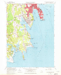
Editions of this 1963 New Bedford South Map
2 editions found
Other maps of this area

1885 · New Bedford
USGS Topo · 1:62,500

1885 · Sakonnet
USGS Topo · 1:62,500

1887 · Gay Head
USGS Topo · 1:62,500

1888 · New Bedford
USGS Topo · 1:62,500

1888 · Fall River
USGS Topo · 1:62,500

1888 · Sakonnet
USGS Topo · 1:62,500

1889 · Gay Head
USGS Topo · 1:62,500

1893 · Gay Head
USGS Topo · 1:62,500

1893 · Sakonnet
USGS Topo · 1:62,500

1893 · Fall River
USGS Topo · 1:62,500