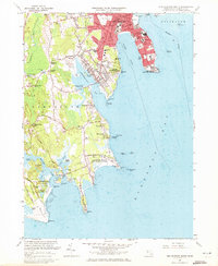
1963 Map of New Bedford South
USGS Topo · Published 1973About this map
The coastal stretch of South Dartmouth and New Bedford reveals a landscape defined by maritime defense and mid-century residential expansion during the early 1960s. The southern tip of the New Bedford peninsula is dominated by the Fort Rodman Military Reservation, while further south along the coast, the Round Hill (US Reservation) occupies a prominent position on the neck. These federal holdings sit alongside established local institutions like the sprawling Rural Cemetery and numerous parish schools such as St Hedwig Sch and St Annes Sch.
Find a feature on this map
136 named features on this map. Tap any name to fly to it.
Don’t see what you’re looking for? This feature index may not catch every label — zoom into the map to look around manually.
Map Details
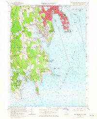
Editions of this 1963 New Bedford South Map
2 editions found
Other maps of this area

1885 · New Bedford
USGS Topo · 1:62,500

1885 · Sakonnet
USGS Topo · 1:62,500

1887 · Gay Head
USGS Topo · 1:62,500

1888 · New Bedford
USGS Topo · 1:62,500

1888 · Fall River
USGS Topo · 1:62,500

1888 · Sakonnet
USGS Topo · 1:62,500

1889 · Gay Head
USGS Topo · 1:62,500

1893 · Gay Head
USGS Topo · 1:62,500

1893 · Sakonnet
USGS Topo · 1:62,500

1893 · Fall River
USGS Topo · 1:62,500