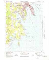
1977 Map of New Bedford South
USGS Topo · Published 1979About this map
New Bedford and South Dartmouth dominate the northern shoreline of this survey, where the urban grid of the city transitions into the suburban and rural stretches of the Massachusetts coast. The Fort Rodman Military Reservation anchors Clarks Pt, watching over the entrance to Clarks Cove and the northern reaches of Buzzards Bay. Inland, the landscape is defined by the winding Paskamanset River and the deeply indented estuaries of Apponagansett Bay and Slocums River. Local institutions and genealogy landmarks are numerous, including the sprawling Rural Cemetery, Apponagansett Ch, and several family-named landmarks like Potomska Cem and Mishaum Point. The southern portion of the map showcases the protected coastal environments of the Demarest Lloyd Memorial State Park and Allens Pond, illustrating the balance between mid-century development and the preservation of the shoreline.
Find a feature on this map
118 named features on this map. Tap any name to fly to it.
Don’t see what you’re looking for? This feature index may not catch every label — zoom into the map to look around manually.
Map Details
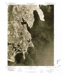
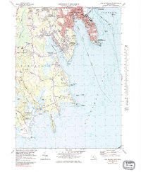
Editions of this 1977 New Bedford South Map
3 editions found
Other maps of this area

1885 · New Bedford
USGS Topo · 1:62,500

1885 · Sakonnet
USGS Topo · 1:62,500

1887 · Gay Head
USGS Topo · 1:62,500

1888 · New Bedford
USGS Topo · 1:62,500

1888 · Fall River
USGS Topo · 1:62,500

1888 · Sakonnet
USGS Topo · 1:62,500

1889 · Gay Head
USGS Topo · 1:62,500

1893 · Gay Head
USGS Topo · 1:62,500

1893 · Sakonnet
USGS Topo · 1:62,500

1893 · Fall River
USGS Topo · 1:62,500