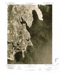
1977 Map of New Bedford South
USGS Topo · Published 1981About this map
South Dartmouth and the surrounding coastline of Buzzards Bay are captured in this 1977 orthophoto, offering a clear view of the salt marshes and tidal inlets that define the South Coast. Unlike a traditional topographic map, this aerial survey reveals the density of residential development in New Bedford and the distinct shoreline properties of Nonquitt and Bayview. The inland terrain is characterized by a mix of wooded areas and cleared fields, bisected by the Paskamanset River as it winds toward the Atlantic.
Find a feature on this map
7 named features on this map. Tap any name to fly to it.
Don’t see what you’re looking for? This feature index may not catch every label — zoom into the map to look around manually.
Map Details
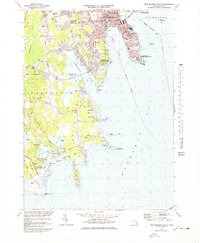
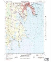
Editions of this 1977 New Bedford South Map
3 editions found
Other maps of this area

1885 · New Bedford
USGS Topo · 1:62,500

1885 · Sakonnet
USGS Topo · 1:62,500

1887 · Gay Head
USGS Topo · 1:62,500

1888 · New Bedford
USGS Topo · 1:62,500

1888 · Fall River
USGS Topo · 1:62,500

1888 · Sakonnet
USGS Topo · 1:62,500

1889 · Gay Head
USGS Topo · 1:62,500

1893 · Gay Head
USGS Topo · 1:62,500

1893 · Sakonnet
USGS Topo · 1:62,500

1893 · Fall River
USGS Topo · 1:62,500