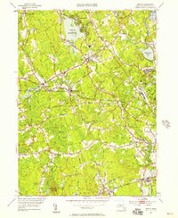
1951 Map of Norton
USGS Topo · Published 1958About this map
Wheaton College serves as a central anchor for the town of Norton, where early 1950s development clusters around established crossroads and institutions. This period in Bristol County history shows a landscape defined by industrial legacy and institutional growth, evidenced by the Copper Works in Barrowsville and the expansive Myles Standish State School near Oakland. Water dominates the geography, with the Norton Reservoir and Winnecunnet Pond feeding a network of streams including the Canoe River and Wading River. Local genealogy is well-documented through several historic burial grounds like Stevens Corner Cem and Norton Center Cem. The presence of the New York New Haven and Hartford railroad tracks illustrates the enduring importance of rail connectivity for these southeastern Massachusetts communities.
Find a feature on this map
59 named features on this map. Tap any name to fly to it.
Don’t see what you’re looking for? This feature index may not catch every label — zoom into the map to look around manually.
Map Details
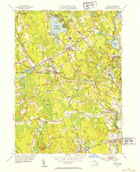
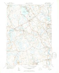
Editions of this 1951 Norton Map
3 editions found
Other maps of this area

1885 · Taunton
USGS Topo · 1:62,500

1886 · Dedham
USGS Topo · 1:62,500

1887 · Franklin
USGS Topo · 1:62,500

1887 · Providence
USGS Topo · 1:62,500

1888 · Taunton
USGS Topo · 1:62,500

1889 · Providence
USGS Topo · 1:62,500

1889 · Franklin
USGS Topo · 1:62,500

1893 · Taunton
USGS Topo · 1:62,500

1893 · Franklin
USGS Topo · 1:62,500

1894 · Dedham
USGS Topo · 1:62,500