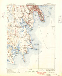
1941 Map of New Bedford South
USGS Topo · Published 1949About this map
The coastal defense installations and residential expansion of the Buzzards Bay shoreline are well-documented in this mid-century survey of Bristol County. At the tip of Clark Pt stands Fort Rodman, while Fort Phoenix guards the eastern approach, reflecting the strategic importance of the New Bedford harbor during the era. The mapping details a landscape of specialized institutions, including the Sol-E-Mar Hospital and the municipal Infirmary, set against a backdrop of established neighborhoods and cemeteries like the expansive Rural Cemetery.
Find a feature on this map
82 named features on this map. Tap any name to fly to it.
Don’t see what you’re looking for? This feature index may not catch every label — zoom into the map to look around manually.
Map Details
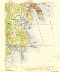
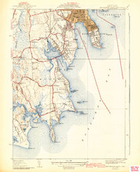
Editions of this 1941 New Bedford South Map
3 editions found
Other maps of this area

1885 · New Bedford
USGS Topo · 1:62,500

1885 · Sakonnet
USGS Topo · 1:62,500

1887 · Gay Head
USGS Topo · 1:62,500

1888 · New Bedford
USGS Topo · 1:62,500

1888 · Fall River
USGS Topo · 1:62,500

1888 · Sakonnet
USGS Topo · 1:62,500

1889 · Gay Head
USGS Topo · 1:62,500

1893 · Gay Head
USGS Topo · 1:62,500

1893 · Sakonnet
USGS Topo · 1:62,500

1893 · Fall River
USGS Topo · 1:62,500