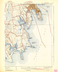
1941 Map of New Bedford South
USGS Topo · Published 1941About this map
New Bedford and Dartmouth meet along the shores of Clark Cove and Apponagansett Bay in this coastal survey, where urban infrastructure transitions into the scattered corners and neck lands of Bristol County. The maritime landscape is anchored by Fort Rodman on Clark Pt and the Butler Flats Lighthouse, guarding the approach to the city's harbor. Inland, the map reveals a dense network of early 20th-century life centered around several local institutions like the Cushman Sch and Smiths Neck Ch.
Find a feature on this map
81 named features on this map. Tap any name to fly to it.
Don’t see what you’re looking for? This feature index may not catch every label — zoom into the map to look around manually.
Map Details
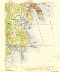
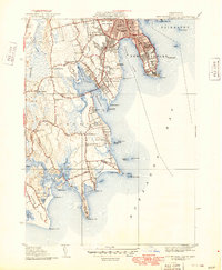
Editions of this 1941 New Bedford South Map
3 editions found
Other maps of this area

1885 · New Bedford
USGS Topo · 1:62,500

1885 · Sakonnet
USGS Topo · 1:62,500

1887 · Gay Head
USGS Topo · 1:62,500

1888 · New Bedford
USGS Topo · 1:62,500

1888 · Fall River
USGS Topo · 1:62,500

1888 · Sakonnet
USGS Topo · 1:62,500

1889 · Gay Head
USGS Topo · 1:62,500

1893 · Gay Head
USGS Topo · 1:62,500

1893 · Sakonnet
USGS Topo · 1:62,500

1893 · Fall River
USGS Topo · 1:62,500