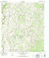
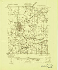
1957 Map of New Berlin
USGS Topo · Published 1979About this map
New Berlin and the nearby community of Olmos anchor this mid-century landscape at the intersection of Guadalupe, Bexar, and Wilson counties. The terrain is defined by the drainage of Cibolo Creek, Blue Creek, and Elm Creek, which supported a network of rural institutions now critical for genealogical research. Numerous family and community burial grounds, including Linne Cem, Achterburg Cem, and Concrete Cem, are scattered throughout the countryside alongside local landmarks like the Sweet Home Sch and Oak Creek Ch. The map also documents the mid-century petroleum presence in the region, with numerous scattered Oil Well symbols indicating the active extraction occurring across these ranchlands and farms during the late 1950s.
Find a feature on this map
18 named features on this map. Tap any name to fly to it.
Don’t see what you’re looking for? This feature index may not catch every label — zoom into the map to look around manually.
Map Details
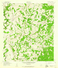
Editions of this 1957 New Berlin Map
2 editions found
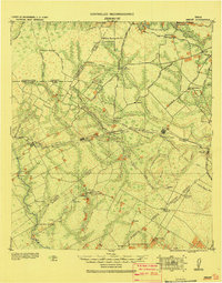
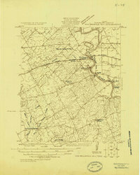
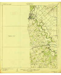
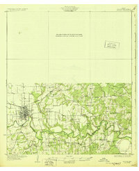
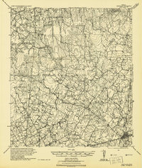
Other maps of this area

1911 · San Marcos
USGS Topo · 1:125,000

1919 · San Marcos
USGS Topo · 1:125,000
1920 · Smiley
USGS Topo · 1:125,000
1924 · New Braunfels No 4
USGS Topo · 1:48,000
1924 · San Marcos 3-c
USGS Topo · 1:48,000
1927 · New Braunfels
USGS Topo · 1:62,500
1930 · Seguin
USGS Topo · 1:62,500
1942 · Dewville
USGS Topo · 1:62,500

1953 · Seguin
USGS Topo · 1:250,000

1954 · San Antonio
USGS Topo · 1:250,000