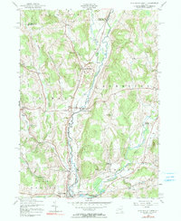
1943 Map of New Berlin North
USGS Topo · Published 1990About this map
The Unadilla River forms a winding natural boundary through this central New York landscape, separating Chenango and Otsego counties during the mid-1940s. The settlement of New Berlin anchors the southwest corner, while the surrounding rural townships are dotted with small hamlets such as South Edmeston, Pittsfield, and Columbus. The map reveals a highly localized social infrastructure of the era, documented through numbered schoolhouses like Town Sch No 3 and family-named landmarks including Lloyd Cem and Perkins Cem.
Find a feature on this map
45 named features on this map. Tap any name to fly to it.
Don’t see what you’re looking for? This feature index may not catch every label — zoom into the map to look around manually.
Map Details
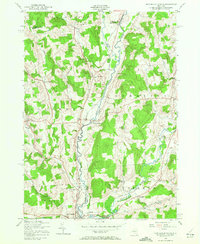
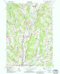
Editions of this 1943 New Berlin North Map
4 editions found
Other maps of this area

1907 · Winfield
USGS Topo · 1:62,500

1907 · Sangerfield
USGS Topo · 1:62,500

1910 · Hartwick
USGS Topo · 1:62,500

1910 · New Berlin
USGS Topo · 1:62,500

1912 · New Berlin
USGS Topo · 1:62,500

1912 · Hartwick
USGS Topo · 1:62,500

1943 · New Berlin North
USGS Topo · 1:24,000

1943 · New Berlin South
USGS Topo · 1:24,000

1943 · Hubbardsville
USGS Topo · 1:24,000

1943 · Unadilla Forks
USGS Topo · 1:24,000