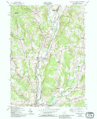
1943 Map of New Berlin North
USGS Topo · Published 1994About this map
The Unadilla River corridor defines this rural landscape at the intersection of Chenango and Otsego counties. During the mid-twentieth century, the Unadilla Valley RR traced the river valley, serving a network of small settlements like South Edmeston and New Berlin. The map reveals a highly localized infrastructure of rural crossroads and hamlets, including Columbus Center, Tallette, and Pittsfield. Land use is primarily agricultural and wooded, marked by numerous family and community burial grounds such as Lloyd Cem, Perkins Cem, and Gazlay Cem. Notable landmarks of the era include the Tri-County Airport near the northern boundary and the Hoboken dam to the south. This survey preserves the local geography before modern consolidation, recording specific thoroughfares like the Sherburne Turnpike and Larcher Road.
Find a feature on this map
48 named features on this map. Tap any name to fly to it.
Don’t see what you’re looking for? This feature index may not catch every label — zoom into the map to look around manually.
Map Details
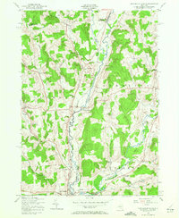
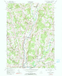
Editions of this 1943 New Berlin North Map
4 editions found
Other maps of this area

1907 · Winfield
USGS Topo · 1:62,500

1907 · Sangerfield
USGS Topo · 1:62,500

1910 · Hartwick
USGS Topo · 1:62,500

1910 · New Berlin
USGS Topo · 1:62,500

1912 · New Berlin
USGS Topo · 1:62,500

1912 · Hartwick
USGS Topo · 1:62,500

1943 · New Berlin North
USGS Topo · 1:24,000

1943 · New Berlin South
USGS Topo · 1:24,000

1943 · Hubbardsville
USGS Topo · 1:24,000

1943 · Unadilla Forks
USGS Topo · 1:24,000