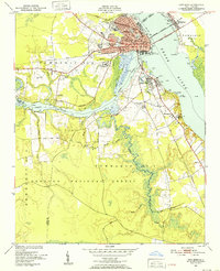
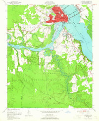
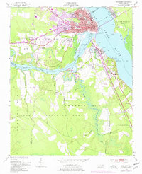
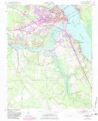
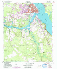
1950 Map of New Bern
USGS Topo · Published 1952About this map
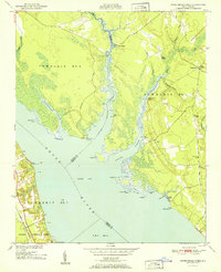
New Bern sits at the vital confluence of the Neuse River and Trent River, a strategic coastal position reflected in its dense grid of landmark buildings and proximity to the Croatan National Forest. This mid-century survey documents the city's growth into suburban areas like De Graffenried Park and Craven Terrace while preserving its deep-rooted history through numerous burial grounds, including the National Cem, Cedar Grove Cem, and the Bern Cem (Ruins).
Find a feature on this map
52 named features on this map. Tap any name to fly to it.
Don’t see what you’re looking for? This feature index may not catch every label — zoom into the map to look around manually.
Map Details
Editions of this 1950 New Bern Map
5 editions found
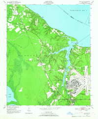
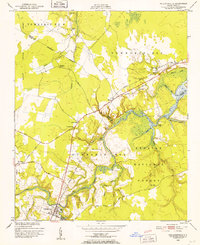
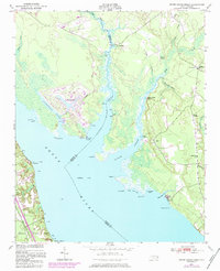
Other maps of this area

1901 · New Bern
USGS Topo · 1:62,500

1903 · New Bern
USGS Topo · 1:62,500

1942 · Maysville
USGS Topo · 1:62,500

1948 · Maysville
USGS Topo · 1:62,500
1949 · Havelock
USGS Topo · 1:24,000
1950 · Pollocksville
USGS Topo · 1:24,000
1950 · Upper Broad Creek
USGS Topo · 1:24,000
1951 · Upper Broad Creek
USGS Topo · 1:24,000

1953 · Rocky Mount
USGS Topo · 1:250,000

1953 · Beaufort
USGS Topo · 1:250,000