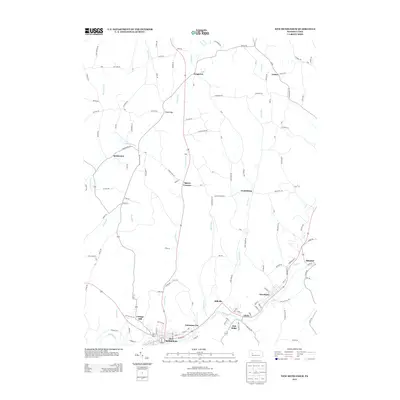
2013 Map of New Bethlehem
USGS Topo · Published 2013About this map
Redbank Creek carves a winding path through this portion of Clarion County, anchoring a dense corridor of settlements including New Bethlehem, Fairmont City, and Hawthorn. The landscape north of the creek is defined by a network of rural roads connecting small, established communities such as Frogtown, Truittsburg, and Crates. The terrain is deeply dissected by numerous watercourses, including Leisure Run, Town Run, and Middle Run, which dictate the placement of local thoroughfares like Leisure Run road and Townline Road. Higher elevations reveal gaps and corners like Sloan Gap and Spaces Corners, while the southwestern corner features the residential cluster of Cottage Hill. This 2013 survey illustrates the enduring patterns of small-town Pennsylvania, where narrow valleys and stream crossings continue to shape the regional layout.
Find a feature on this map
134 named features on this map. Tap any name to fly to it.
Don’t see what you’re looking for? This feature index may not catch every label — zoom into the map to look around manually.
Map Details
Editions of this 2013 New Bethlehem Map
This is the sole edition of this map. No revisions or reprints were ever made.
Other maps of this area

1901 · Rural Valley
USGS Topo · 1:62,500

1903 · Rural Valley
USGS Topo · 1:62,500

1906 · Clarion
USGS Topo · 1:62,500

1907 · Clarion
USGS Topo · 1:62,500

1909 · Smicksburg
USGS Topo · 1:62,500

1924 · Brookville
USGS Topo · 1:62,500

1926 · Brookville
USGS Topo · 1:62,500

1938 · Smicksburg
USGS Topo · 1:62,500

1939 · Smicksburg
USGS Topo · 1:62,500

1944 · Brookville
USGS Topo · 1:62,500