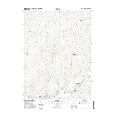
2016 Map of New Bethlehem
USGS Topo · Published 2016About this map
Redbank Creek winds along the southern border of this landscape, defining the historical boundary between Clarion Co and Armstrong Co. Along this corridor, industrial and residential clusters like South Bethlehem, Fairmont City, and Hawthorn illustrate the development of the valley's lower elevations. The map provides clear evidence of the region's spiritual and community life through sites such as the Saint Nicholas Cem in the north and the Emmanuel Evangelical Lutheran Cem further south.
Find a feature on this map
85 named features on this map. Tap any name to fly to it.
Don’t see what you’re looking for? This feature index may not catch every label — zoom into the map to look around manually.
Map Details
Editions of this 2016 New Bethlehem Map
This is the sole edition of this map. No revisions or reprints were ever made.
Other maps of this area

1901 · Rural Valley
USGS Topo · 1:62,500

1903 · Rural Valley
USGS Topo · 1:62,500

1906 · Clarion
USGS Topo · 1:62,500

1907 · Clarion
USGS Topo · 1:62,500

1909 · Smicksburg
USGS Topo · 1:62,500

1924 · Brookville
USGS Topo · 1:62,500

1926 · Brookville
USGS Topo · 1:62,500

1938 · Smicksburg
USGS Topo · 1:62,500

1939 · Smicksburg
USGS Topo · 1:62,500

1944 · Brookville
USGS Topo · 1:62,500