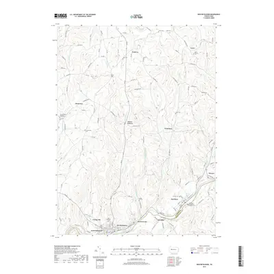
2019 Map of New Bethlehem
USGS Topo · Published 2019About this map
Redbank Creek carves a deep valley along the southern border of this landscape, separating New Bethlehem and South Bethlehem at the line between Clarion and Armstrong counties. The area is defined by its numerous small hilltop settlements and valley floors, where communities like Fairmont City, Hawthorn, and Oak Ridge follow the creek's path. Further north, the terrain transitions into a dense network of country roads and ridges, dotted with several notable crossroads including Frogtown, Spaces Corners, and Truittsburg. Genealogists will find this sheet particularly valuable for its density of burial sites, ranging from the Emmanuel Evangelical Lutheran Cem and Saint Nicholas Cem in the east to the New Bethlehem Mennonite Church Cem and Leatherwood Cem in the west.
Find a feature on this map
143 named features on this map. Tap any name to fly to it.
Don’t see what you’re looking for? This feature index may not catch every label — zoom into the map to look around manually.
Map Details
Editions of this 2019 New Bethlehem Map
This is the sole edition of this map. No revisions or reprints were ever made.
Other maps of this area

1901 · Rural Valley
USGS Topo · 1:62,500

1903 · Rural Valley
USGS Topo · 1:62,500

1906 · Clarion
USGS Topo · 1:62,500

1907 · Clarion
USGS Topo · 1:62,500

1909 · Smicksburg
USGS Topo · 1:62,500

1924 · Brookville
USGS Topo · 1:62,500

1926 · Brookville
USGS Topo · 1:62,500

1938 · Smicksburg
USGS Topo · 1:62,500

1939 · Smicksburg
USGS Topo · 1:62,500

1944 · Brookville
USGS Topo · 1:62,500