2023 Map of New Bethlehem
USGS Topo · Published 2023About this map
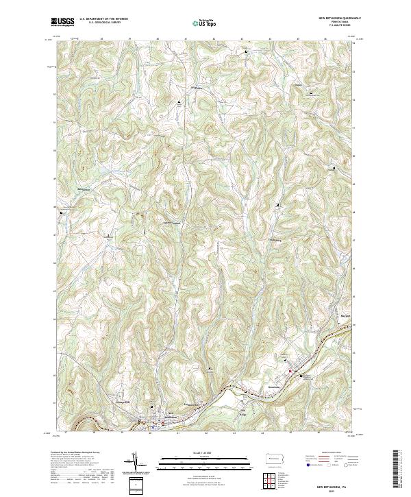
Redbank Creek carves a deep valley through the southern half of this landscape, defining the corridor for industry and settlement where New Bethlehem and Fairmont City sit. The terrain to the north is characterized by a high, dissected plateau where agricultural hamlets like Frogtown and Spaces Corners are linked by a network of rural routes and trails. For those tracing family histories, this survey is particularly dense with burial grounds, ranging from churchyards like the Saint Charles Cem to the high-elevation Saint Nicholas Cem near Crates. The presence of the Oakridge Sch and numerous cemeteries, such as the Middle Run Cem and Paradise Cem, provides a detailed record of the community structures that have persisted across the hills of Clarion Co and into Armstrong Co.
Find a feature on this map
139 named features on this map. Tap any name to fly to it.
Don’t see what you’re looking for? This feature index may not catch every label — zoom into the map to look around manually.
Map Details
Editions of this 2023 New Bethlehem Map
This is the sole edition of this map. No revisions or reprints were ever made.