Loading...
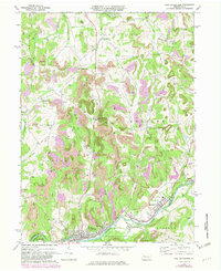
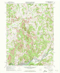
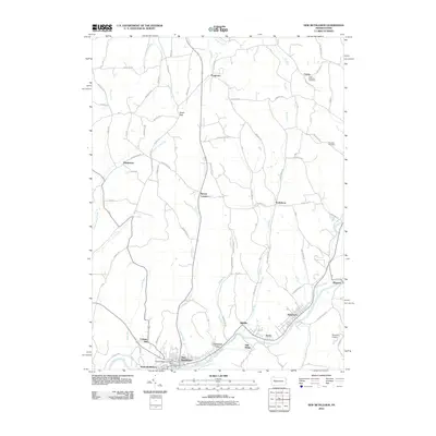
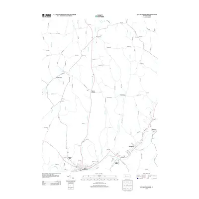
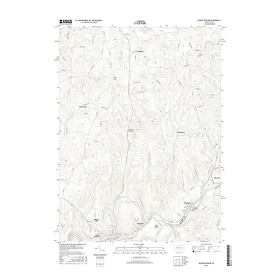
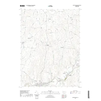
Loading map...1969 Map of New Bethlehem
USGS Topo · Published 1982About this map
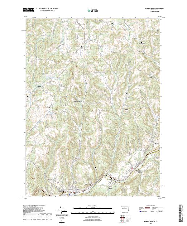
Redbank Creek flows through the southern portion of this region, acting as the lifeblood for a string of industrial and residential settlements during the late 1960s. The concentrated corridor of New Bethlehem, Fairmount City, and Hawthorn follows the water and the Conrail line, reflecting a landscape shaped by transportation and natural resource extraction. Numerous Strip Mine operations and a wide-reaching Gas Field pepper the uplands of Limestone and Redbank townships, showing the intensity of the area's energy economy.
Find a feature on this map
39 named features on this map. Tap any name to fly to it.
Don’t see what you’re looking for? This feature index may not catch every label — zoom into the map to look around manually.
Map Details
Date Portrayed1969
Date Published1982
PublisherU.S. Geological Survey
Map TypeTopographic
Scale1:24,000
Physical Dimensions22 x 27 inches
Editions of this 1969 New Bethlehem Map
2 editions found
Historical Maps of Limestone Township Through Time
6 maps found
Featured Locations
Source Details
SourceU.S. Geological Survey
CopyrightPublic Domain