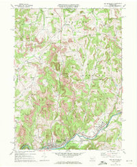
1969 Map of New Bethlehem
USGS Topo · Published 1972About this map
Redbank Creek carves a deep valley through the heart of this landscape, serving as a corridor for both the Penn Central railroad and a dense string of industrial settlements. The borough of New Bethlehem sits at the confluence of the creek and Leisure Run, surrounded by neighbors like South Bethlehem, Fairmount City, and Cottage Hill. This 1960s survey documents a region defined by its natural resources, where extensive Strip Mine operations and a widespread Gas Field share the hills with rural communities. Local history is anchored by sites such as St Nicholas Cem and Paradise Cem, while smaller crossroads like Frogtown and Spaces Corners provide evidence of earlier settlement patterns. The presence of a Radio Tower and Landing Strip signals the mid-century modernization of these traditional mining and farming uplands.
Find a feature on this map
41 named features on this map. Tap any name to fly to it.
Don’t see what you’re looking for? This feature index may not catch every label — zoom into the map to look around manually.
Map Details
Editions of this 1969 New Bethlehem Map
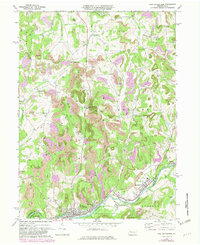
2 editions found
Other maps of this area

1901 · Rural Valley
USGS Topo · 1:62,500

1903 · Rural Valley
USGS Topo · 1:62,500

1906 · Clarion
USGS Topo · 1:62,500

1907 · Clarion
USGS Topo · 1:62,500

1909 · Smicksburg
USGS Topo · 1:62,500

1924 · Brookville
USGS Topo · 1:62,500

1926 · Brookville
USGS Topo · 1:62,500

1938 · Smicksburg
USGS Topo · 1:62,500

1939 · Smicksburg
USGS Topo · 1:62,500

1944 · Brookville
USGS Topo · 1:62,500