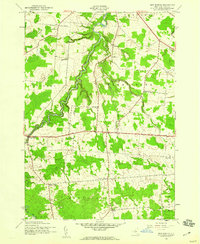
1943 Map of New Boston
USGS Topo · Published 1960About this map
Pinckney Corners and the surrounding townships of Denmark, Harrisburg, and Montague define this rural landscape as it was mapped by the Army Map Service during the Second World War. The area is characterized by a high density of one-room schoolhouses, including School No 8 and School No 5, which served scattered rural families before mid-century consolidation. The winding course of the Deer River and Mad River dictates the local topography, with settlements like Bellwood and New Boston located at key road intersections. Genealogists will find several family-named burial grounds, such as Gallup Cem and Tuttle Cem, providing localized spatial data for North Country families. The network of "corners"—including Gardners Corners and Liberty Corners—reveals the traditional New York pattern of small crossroads hamlets that formed the social centers of these highland dairy farming communities.
Find a feature on this map
27 named features on this map. Tap any name to fly to it.
Don’t see what you’re looking for? This feature index may not catch every label — zoom into the map to look around manually.
Map Details
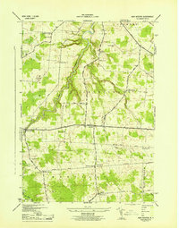
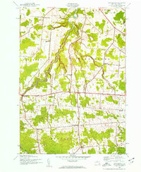
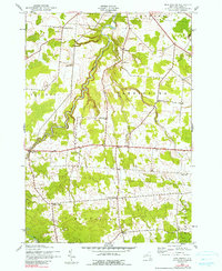
Editions of this 1943 New Boston Map
4 editions found
Other maps of this area

1895 · Watertown
USGS Topo · 1:62,500

1898 · Watertown
USGS Topo · 1:62,500

1902 · Carthage
USGS Topo · 1:62,500

1903 · Orwell
USGS Topo · 1:62,500

1904 · Carthage
USGS Topo · 1:62,500

1905 · Orwell
USGS Topo · 1:62,500

1906 · Highmarket
USGS Topo · 1:62,500

1908 · Watertown
USGS Topo · 1:62,500

1909 · Watertown
USGS Topo · 1:62,500

1942 · Copenhagen
USGS Topo · 1:24,000