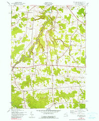
1943 Map of New Boston
USGS Topo · Published 1990About this map
The headwaters of the Deer River and Silver Brook carve through this rural upland where the town boundaries of Denmark, Pinckney, Harrisburg, Montague, and Martinsburg converge. Surveyed during the 1940s, the landscape is defined by a dense network of district schools and crossroads settlements. Small community hubs like New Boston, Bellwood, and Pinckney Corners serve as the primary anchors for this agricultural region.
Find a feature on this map
26 named features on this map. Tap any name to fly to it.
Don’t see what you’re looking for? This feature index may not catch every label — zoom into the map to look around manually.
Map Details
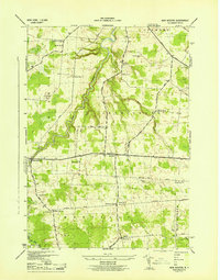
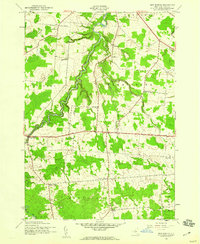
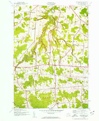
Editions of this 1943 New Boston Map
4 editions found
Other maps of this area

1895 · Watertown
USGS Topo · 1:62,500

1898 · Watertown
USGS Topo · 1:62,500

1902 · Carthage
USGS Topo · 1:62,500

1903 · Orwell
USGS Topo · 1:62,500

1904 · Carthage
USGS Topo · 1:62,500

1905 · Orwell
USGS Topo · 1:62,500

1906 · Highmarket
USGS Topo · 1:62,500

1908 · Watertown
USGS Topo · 1:62,500

1909 · Watertown
USGS Topo · 1:62,500

1942 · Copenhagen
USGS Topo · 1:24,000