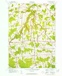
1943 Map of New Boston
USGS Topo · Published 1960About this map
Deer River and its tributaries, such as Silver Brook and Stony Creek, carve through the rural townships of Harrisburg, Pinckney, and Montague in the Tug Hill region. This mid-century survey illustrates a landscape defined by small agricultural crossroads and a decentralized school system. Small rural hubs like New Boston, Bellwood, and Pinckney Corners anchor the road network, which is dotted with numbered district schoolhouses including School No 10 and School No 7.
Find a feature on this map
27 named features on this map. Tap any name to fly to it.
Don’t see what you’re looking for? This feature index may not catch every label — zoom into the map to look around manually.
Map Details
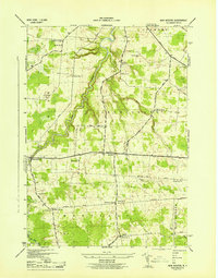
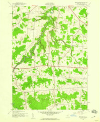
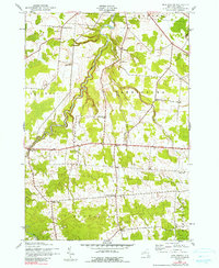
Editions of this 1943 New Boston Map
4 editions found
Other maps of this area

1895 · Watertown
USGS Topo · 1:62,500

1898 · Watertown
USGS Topo · 1:62,500

1902 · Carthage
USGS Topo · 1:62,500

1903 · Orwell
USGS Topo · 1:62,500

1904 · Carthage
USGS Topo · 1:62,500

1905 · Orwell
USGS Topo · 1:62,500

1906 · Highmarket
USGS Topo · 1:62,500

1908 · Watertown
USGS Topo · 1:62,500

1909 · Watertown
USGS Topo · 1:62,500

1942 · Copenhagen
USGS Topo · 1:24,000