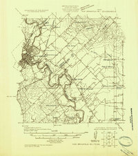
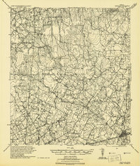
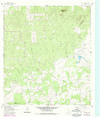
1925 Map of New Braunfels No 1
USGS Topo · Published 1925This historical map portrays the area of New Braunfels No 1 in 1925, primarily covering Guadalupe County as well as portions of Comal County. Featuring a scale of 1:48000, this map provides a highly detailed snapshot of the terrain, roads, buildings, counties, and historical landmarks in the New Braunfels No 1 region at the time. Published in 1925, it is the sole known edition of this map.
Map Details
Editions of this 1925 New Braunfels No 1 Map
This is the sole edition of this map. No revisions or reprints were ever made.
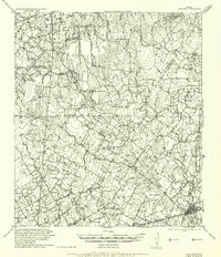
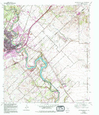
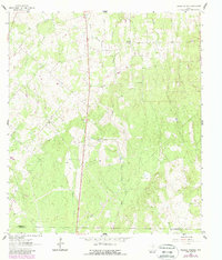
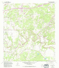
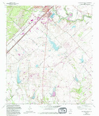
Historical Maps of Shady Acre Mobile Home Park Through Time
11 maps found
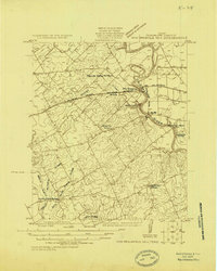
1924 New Braunfels No 4
Guadalupe County, TX
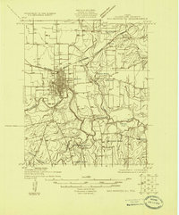
1924 San Marcos 3-c
Guadalupe County, TX
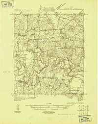
1924 San Marcos 3-d
Guadalupe County, TX
1925 New Braunfels No 1
Guadalupe County, TX
1942 Dewville
Guadalupe County, TX
1956 Dewville
Guadalupe County, TX
1958 New Braunfels East
Guadalupe County, TX
1961 Thomas Springs
Guadalupe County, TX
1962 Dewville
Guadalupe County, TX
1964 Darst Creek
Guadalupe County, TX
1964 San Marcos South
Guadalupe County, TX