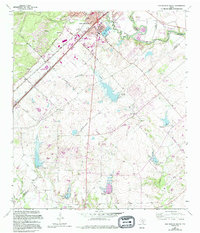
1964 Map of San Marcos South
USGS Topo · Published 1994About this map
The San Marcos River flows through the northern reaches of this landscape, where the southern expansion of San Marcos meets the agricultural flats and creek bottoms of the Balcones Escarpment foothills. Cultural features are concentrated along the historical transit corridors of Redwood Road and Centerpoint Road, connecting small rural communities such as Zorn and Redwood. The map preserves the locations of numerous family and community burial grounds, including the San Pedro Cem and Hernandez Cem, which serve as vital markers for genealogical research in this multi-county border region where Hays, Caldwell, and Guadalupe counties meet. Between the creek beds of Cottonwood Creek and York Creek, the land is marked by small-scale industrial activity like the Gravel Pit and conservation efforts at the State Fish Hatchery, reflecting a mid-century transition from strictly agrarian use to more diversified suburban and utility infrastructure.
Find a feature on this map
30 named features on this map. Tap any name to fly to it.
Don’t see what you’re looking for? This feature index may not catch every label — zoom into the map to look around manually.
Map Details
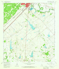
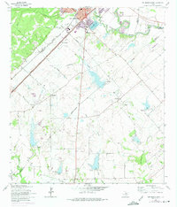
Editions of this 1964 San Marcos South Map
3 editions found
Other maps of this area

1911 · San Marcos
USGS Topo · 1:125,000

1919 · San Marcos
USGS Topo · 1:125,000

1925 · New Braunfels No 1
USGS Topo · 1:48,000

1927 · New Braunfels
USGS Topo · 1:62,500

1929 · Hunter
USGS Topo · 1:62,500

1930 · Seguin
USGS Topo · 1:62,500

1953 · Seguin
USGS Topo · 1:250,000

1954 · San Antonio
USGS Topo · 1:250,000

1957 · San Antonio
USGS Topo · 1:250,000

1958 · Seguin
USGS Topo · 1:250,000