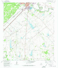
1964 Map of San Marcos South
USGS Topo · Published 1975About this map
The San Marcos River and the Blanco River converge at the northern edge of this territory, where the urban expansion of San Marcos began pushing south toward Hays Co Guadalupe Co County. This mid-century landscape is defined by its transition from a growing university town into agricultural prairie, marked by a series of flood-control structures such as Dam No 13 and Dam No 5. The region's transport identity is anchored by the parallel routes of the Missouri Pacific and Missouri Kansas Texas railroads, which bypass smaller rural hubs like Redwood and Zorn.
Find a feature on this map
37 named features on this map. Tap any name to fly to it.
Don’t see what you’re looking for? This feature index may not catch every label — zoom into the map to look around manually.
Map Details
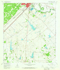
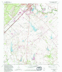
Editions of this 1964 San Marcos South Map
3 editions found
Other maps of this area

1911 · San Marcos
USGS Topo · 1:125,000

1919 · San Marcos
USGS Topo · 1:125,000

1925 · New Braunfels No 1
USGS Topo · 1:48,000

1927 · New Braunfels
USGS Topo · 1:62,500

1929 · Hunter
USGS Topo · 1:62,500

1930 · Seguin
USGS Topo · 1:62,500

1953 · Seguin
USGS Topo · 1:250,000

1954 · San Antonio
USGS Topo · 1:250,000

1957 · San Antonio
USGS Topo · 1:250,000

1958 · Seguin
USGS Topo · 1:250,000