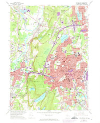
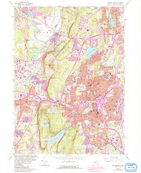
1966 Map of New Britain
USGS Topo · Published 1973About this map
New Britain serves as the industrial and educational heart of this mid-century Hartford County survey, featuring the sprawling campus of the State Teachers College and a dense network of residential streets. The urban landscape is anchored by significant community landmarks like the Polish Orphanage and the Hill-Stead Museum in Farmington. To the west, the terrain rises sharply toward Rattlesnake Mtn and Pinnacle Rock, where the Metacomet Trail traces the ridgeline of Farmington Mtn.
Find a feature on this map
106 named features on this map. Tap any name to fly to it.
Don’t see what you’re looking for? This feature index may not catch every label — zoom into the map to look around manually.
Map Details
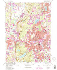
Editions of this 1966 New Britain Map
6 editions found
Other maps of this area

1892 · Hartford
USGS Topo · 1:62,500

1892 · Meriden
USGS Topo · 1:62,500

1892 · Granby
USGS Topo · 1:62,500

1893 · Middletown
USGS Topo · 1:62,500

1893 · Meriden
USGS Topo · 1:62,500

1906 · Farmington
USGS Topo · 1:125,000

1928 · Cromwell
USGS Topo · 1:24,000

1928 · Windsor
USGS Topo · 1:24,000

1944 · Hartford South
USGS Topo · 1:31,680

1945 · Hartford North
USGS Topo · 1:31,680