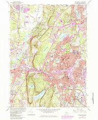
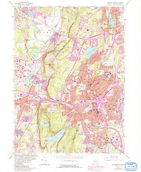
1966 Map of New Britain
USGS Topo · Published 1985About this map
The Metaccomet Ridge forms a prominent natural spine through this landscape, featuring peaks like Rattlesnake Mtn and Pinnacle Rock that separate the industrial and residential core of New Britain from the western lowlands. This mid-century view captures a period of intense suburban expansion and infrastructure development, evidenced by the intricate system of highway interchanges and the sprawling footprint of the State Teachers College.
Find a feature on this map
115 named features on this map. Tap any name to fly to it.
Don’t see what you’re looking for? This feature index may not catch every label — zoom into the map to look around manually.
Map Details
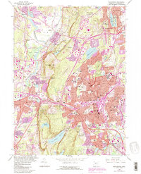
Editions of this 1966 New Britain Map
6 editions found
Other maps of this area

1892 · Hartford
USGS Topo · 1:62,500

1892 · Meriden
USGS Topo · 1:62,500

1892 · Granby
USGS Topo · 1:62,500

1893 · Middletown
USGS Topo · 1:62,500

1893 · Meriden
USGS Topo · 1:62,500

1906 · Farmington
USGS Topo · 1:125,000

1928 · Cromwell
USGS Topo · 1:24,000

1928 · Windsor
USGS Topo · 1:24,000

1944 · Hartford South
USGS Topo · 1:31,680

1945 · Hartford North
USGS Topo · 1:31,680