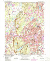
1966 Map of New Britain
USGS Topo · Published 1988About this map
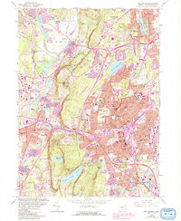
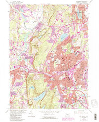
The dense industrial and residential character of New Britain and Plainville is strikingly contrasted by the steep, wooded traprock ridges of Talcott Mountain and Rattlesnake Mtn. This mid-century survey reveals a landscape of intense suburbanization and infrastructure expansion, featuring the State Teachers College and several large medical facilities like the New Britain Memorial Hospital. Along the eastern edge of the ridges, the Metacomet Trail winds through rugged elevations at Pinnacle Rock and Bradley Mtn, overlooking a network of reservoirs including the Shuttle Meadow Reservoir. The presence of an old Copper Mine and various Quarries underscores the geological history that shaped the local economy. In the lowlands, the Farmington River and Pequabuck River define the terrain, while the Amtrak line at Berlin Sta continues a long legacy of rail transport through the Connecticut interior.
Find a feature on this map
92 named features on this map. Tap any name to fly to it.
Don’t see what you’re looking for? This feature index may not catch every label — zoom into the map to look around manually.
Map Details
Editions of this 1966 New Britain Map
6 editions found
Other maps of this area

1892 · Hartford
USGS Topo · 1:62,500

1892 · Meriden
USGS Topo · 1:62,500

1892 · Granby
USGS Topo · 1:62,500

1893 · Middletown
USGS Topo · 1:62,500

1893 · Meriden
USGS Topo · 1:62,500

1906 · Farmington
USGS Topo · 1:125,000

1928 · Cromwell
USGS Topo · 1:24,000

1928 · Windsor
USGS Topo · 1:24,000

1944 · Hartford South
USGS Topo · 1:31,680

1945 · Hartford North
USGS Topo · 1:31,680