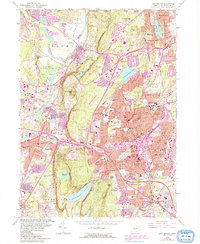
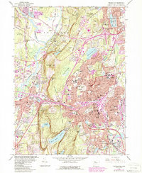
1966 Map of New Britain
USGS Topo · Published 1992About this map
New Britain and the surrounding industrial corridor of Central Connecticut are captured during a period of significant post-war expansion and suburban transition. The landscape is defined by the prominent ridge line of Metacomet Ridge, which separates the valley floor from elevated landmarks like Rattlesnake Mtn and Pinnacle Rock. This survey highlights the era's infrastructure growth, showcasing the newly developed Interchanges 38 and 39 as the interstate system integrated with established manufacturing hubs.
Find a feature on this map
111 named features on this map. Tap any name to fly to it.
Don’t see what you’re looking for? This feature index may not catch every label — zoom into the map to look around manually.
Map Details
Editions of this 1966 New Britain Map
6 editions found
Other maps of this area

1892 · Hartford
USGS Topo · 1:62,500

1892 · Meriden
USGS Topo · 1:62,500

1892 · Granby
USGS Topo · 1:62,500

1893 · Middletown
USGS Topo · 1:62,500

1893 · Meriden
USGS Topo · 1:62,500

1906 · Farmington
USGS Topo · 1:125,000

1928 · Cromwell
USGS Topo · 1:24,000

1928 · Windsor
USGS Topo · 1:24,000

1944 · Hartford South
USGS Topo · 1:31,680

1945 · Hartford North
USGS Topo · 1:31,680