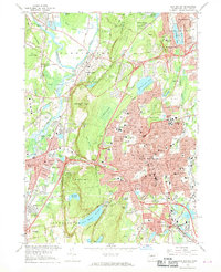
1966 Map of New Britain
USGS Topo · Published 1968About this map
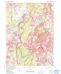
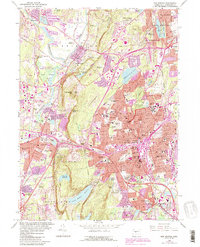
The ridge of Metacomtt Mountain and Farmington Mtn creates a natural divide between the dense industrial and residential core of New Britain and the more open terrain of Farmington. This mid-century landscape is defined by its institutional and recreational landmarks, ranging from the Hill Stead Museum to the sprawling State Teachers College campus. The eastern half of the map shows a concentrated network of neighborhood churches and parochial schools, including St Marys Sch and St Thomas Sch, serving the post-war suburban growth.
Find a feature on this map
136 named features on this map. Tap any name to fly to it.
Don’t see what you’re looking for? This feature index may not catch every label — zoom into the map to look around manually.
Map Details
Editions of this 1966 New Britain Map
6 editions found
Other maps of this area

1892 · Hartford
USGS Topo · 1:62,500

1892 · Meriden
USGS Topo · 1:62,500

1892 · Granby
USGS Topo · 1:62,500

1893 · Middletown
USGS Topo · 1:62,500

1893 · Meriden
USGS Topo · 1:62,500

1906 · Farmington
USGS Topo · 1:125,000

1928 · Cromwell
USGS Topo · 1:24,000

1928 · Windsor
USGS Topo · 1:24,000

1944 · Hartford South
USGS Topo · 1:31,680

1945 · Hartford North
USGS Topo · 1:31,680