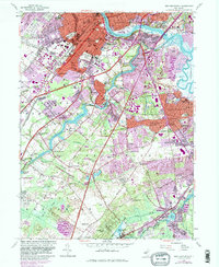
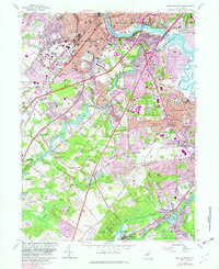
1954 Map of New Brunswick
USGS Topo · Published 1982About this map
New Brunswick and Highland Park dominate the northern landscape of this Middlesex County quadrangle, where the Raritan River and the Delaware and Raritan Canal converge. The academic presence of Rutgers University, Douglass College, and the Rutgers College of Agriculture is clearly defined, showing the institutional footprint of the area during the mid-century. Transportation corridors, including the New Jersey Turnpike and major rail lines like Amtrak and Conrail, illustrate the region's role as a vital transit hub between urban centers.
Find a feature on this map
103 named features on this map. Tap any name to fly to it.
Don’t see what you’re looking for? This feature index may not catch every label — zoom into the map to look around manually.
Map Details
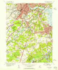
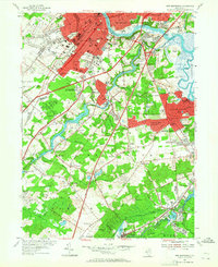
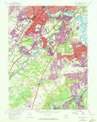
Editions of this 1954 New Brunswick Map
5 editions found
Other maps of this area

1888 · Plainfield
USGS Topo · 1:62,500

1888 · New Brunswick
USGS Topo · 1:62,500

1888 · Princeton
USGS Topo · 1:62,500

1891 · Somerville
USGS Topo · 1:62,500

1893 · New Brunswick
USGS Topo · 1:62,500

1893 · Plainfield
USGS Topo · 1:62,500

1893 · Somerville
USGS Topo · 1:62,500

1894 · Princeton
USGS Topo · 1:62,500

1898 · Plainfield
USGS Topo · 1:62,500

1898 · Somerville
USGS Topo · 1:62,500