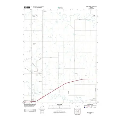
2009 Map of New Cambria
USGS Topo · Published 2009About this map
The confluence of the Solomon River and the Saline River defines the landscape northeast of Salina, where riparian corridors give way to the gridded agricultural fields of Saline County. The settlement of New Cambria sits at the southern edge of this map, near where Mulberry Creek joins the Saline. This survey provides a clear look at the rural cemetery layout of the region, specifically Saline Valley Cemetery and Highland Cemetery, which serve as vital reference points for genealogical research. Prominent local landmarks like North Pole Mound break the horizontal plains, while smaller centers like Verdi and Camp Webster anchor the northern and western sections of the quadrangle. The road network, including historic alignments like N Old Highway 81, illustrates the evolution of transport through this river-crossed section of the Kansas prairie.
Find a feature on this map
47 named features on this map. Tap any name to fly to it.
Don’t see what you’re looking for? This feature index may not catch every label — zoom into the map to look around manually.
Map Details
Editions of this 2009 New Cambria Map
This is the sole edition of this map. No revisions or reprints were ever made.
Other maps of this area

1889 · Abilene
USGS Topo · 1:125,000

1891 · Clay Center
USGS Topo · 1:125,000

1892 · Salina
USGS Topo · 1:125,000

1892 · Minneapolis
USGS Topo · 1:125,000

1894 · Abilene
USGS Topo · 1:125,000

1942 · Salina
USGS Topo · 1:125,000

1955 · Salina
USGS Topo · 1:24,000

1955 · Salina SW
USGS Topo · 1:24,000

1955 · Trenton
USGS Topo · 1:24,000

1955 · Niles
USGS Topo · 1:24,000