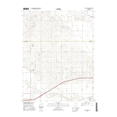
2015 Map of New Cambria
USGS Topo · Published 2015About this map
The confluence region of the Solomon River and the Saline River dominates this landscape in Saline and Ottawa Counties. The settlement of New Cambria sits in the southern portion of the map, organized around a grid that includes Railroad St and 1st St, indicating the historic role of transit in the town's development. Further north, the landscape is defined by the winding path of the Solomon River as it passes near the small community of Verdi. For local historians and genealogists, the map identifies specific burial sites including Saline Valley Cem and Highland Cem. The terrain transitions from the river valleys to higher ground marked by N Pole Mound, while the rural countryside is divided by a network of named roads such as W Humbargar Rd and Streckfus Trl that follow the established section lines of the Public Land Survey System.
Find a feature on this map
61 named features on this map. Tap any name to fly to it.
Don’t see what you’re looking for? This feature index may not catch every label — zoom into the map to look around manually.
Map Details
Editions of this 2015 New Cambria Map
This is the sole edition of this map. No revisions or reprints were ever made.
Other maps of this area

1889 · Abilene
USGS Topo · 1:125,000

1891 · Clay Center
USGS Topo · 1:125,000

1892 · Salina
USGS Topo · 1:125,000

1892 · Minneapolis
USGS Topo · 1:125,000

1894 · Abilene
USGS Topo · 1:125,000

1942 · Salina
USGS Topo · 1:125,000

1955 · Salina
USGS Topo · 1:24,000

1955 · Salina SW
USGS Topo · 1:24,000

1955 · Trenton
USGS Topo · 1:24,000

1955 · Niles
USGS Topo · 1:24,000