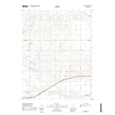
2018 Map of New Cambria
USGS Topo · Published 2018About this map
The Saline River and Solomon River converge in this agricultural landscape northeast of Salina, where the terrain transitions from the river bottomlands to the rising bluffs of North Pole Mound. The 2018 survey reveals a network of rural roads and modern developments, including Arland Airport and the small communities of New Cambria and Verdi. The mapping reflects the intersection of natural watercourses and human infrastructure, such as the path of Mulberry Cr as it approaches the river system.
Find a feature on this map
66 named features on this map. Tap any name to fly to it.
Don’t see what you’re looking for? This feature index may not catch every label — zoom into the map to look around manually.
Map Details
Editions of this 2018 New Cambria Map
This is the sole edition of this map. No revisions or reprints were ever made.
Other maps of this area
1889 · Abilene
USGS Topo · 1:125,000
1891 · Clay Center
USGS Topo · 1:125,000
1892 · Salina
USGS Topo · 1:125,000
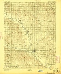
1892 · Minneapolis
USGS Topo · 1:125,000
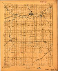
1894 · Abilene
USGS Topo · 1:125,000
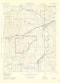
1942 · Salina
USGS Topo · 1:125,000
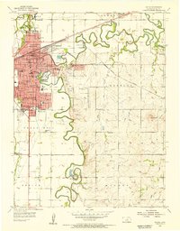
1955 · Salina
USGS Topo · 1:24,000
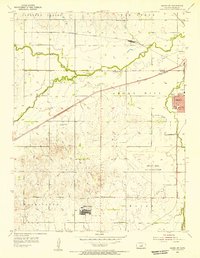
1955 · Salina SW
USGS Topo · 1:24,000
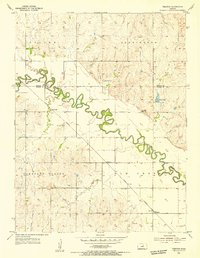
1955 · Trenton
USGS Topo · 1:24,000
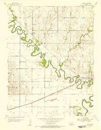
1955 · Niles
USGS Topo · 1:24,000