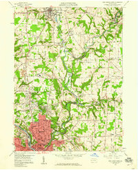
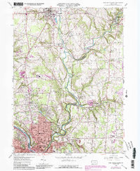
1958 Map of New Castle North
USGS Topo · Published 1960About this map
The academic grounds of Westminster College in New Wilmington anchor the northern landscape of this Lawrence County survey, where the valley of Little Neshannock Creek transitions into the growing residential and industrial districts of New Castle. To the south, the city's expansion is evident through the development of Highland Heights and neighborhoods along Croton Avenue, balanced by established institutions such as St Marys Church and George Washington Junior High School.
Find a feature on this map
97 named features on this map. Tap any name to fly to it.
Don’t see what you’re looking for? This feature index may not catch every label — zoom into the map to look around manually.
Map Details
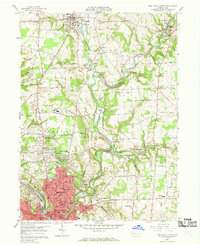
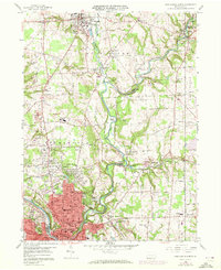
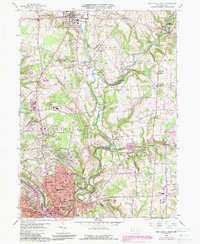
Editions of this 1958 New Castle North Map
5 editions found
Other maps of this area

1902 · New Castle
USGS Topo · 1:62,500

1904 · Newcastle
USGS Topo · 1:62,500

1905 · Neshannock
USGS Topo · 1:62,500

1907 · Neshannock
USGS Topo · 1:62,500

1908 · Zelienople
USGS Topo · 1:62,500

1910 · Zelienople
USGS Topo · 1:62,500

1913 · Mercer
USGS Topo · 1:62,500

1939 · Mercer
USGS Topo · 1:62,500

1943 · Mercer
USGS Topo · 1:62,500

1950 · Cleveland
USGS Topo · 1:250,000
Featured Places
- New Castle, PA
- New Wilmington, PA
- Volant, PA
- Neshannock Township, PA
- Neshannock Falls, Wilmington Township