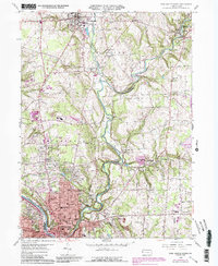
1958 Map of New Castle North
USGS Topo · Published 1990About this map
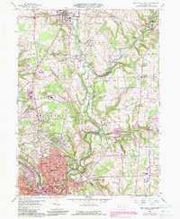
The Shenango River and Neshannock Creek converge in this mid-century portrait of a region balancing industrial heritage with residential growth. As New Castle expands northward, the landscape reveals a complex history of resource extraction, clearly marked by extensive Reclaimed Strip Mines scattered throughout Neshannock and Hickory townships. These former mining areas contrast with established community hubs like New Wilmington and the smaller village of Volant along the Pennsylvania Railroad corridor.
Find a feature on this map
73 named features on this map. Tap any name to fly to it.
Don’t see what you’re looking for? This feature index may not catch every label — zoom into the map to look around manually.
Map Details
Editions of this 1958 New Castle North Map
5 editions found
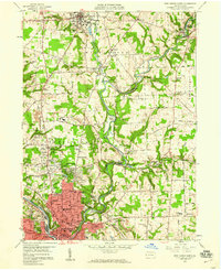
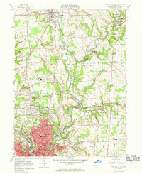
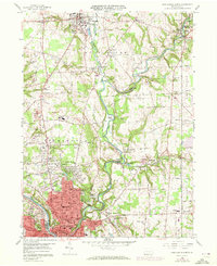
Other maps of this area

1902 · New Castle
USGS Topo · 1:62,500

1904 · Newcastle
USGS Topo · 1:62,500

1905 · Neshannock
USGS Topo · 1:62,500

1907 · Neshannock
USGS Topo · 1:62,500

1908 · Zelienople
USGS Topo · 1:62,500

1910 · Zelienople
USGS Topo · 1:62,500

1913 · Mercer
USGS Topo · 1:62,500

1939 · Mercer
USGS Topo · 1:62,500

1943 · Mercer
USGS Topo · 1:62,500

1950 · Cleveland
USGS Topo · 1:250,000
Featured Places
- New Castle, PA
- New Wilmington, PA
- Volant, PA
- Neshannock Township, PA
- Neshannock Falls, Wilmington Township