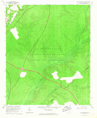
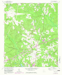
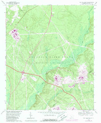
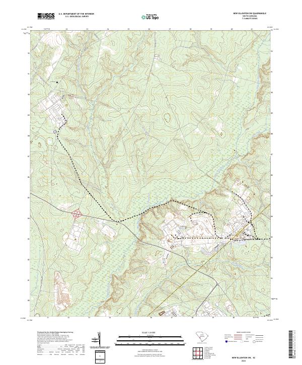
1965 Map of New Ellenton SW
USGS Topo · Published 1967This historical map portrays the area of New Ellenton SW in 1965, primarily covering Aiken County as well as portions of Barnwell County. Featuring a scale of 1:24000, this map provides a highly detailed snapshot of the terrain, roads, buildings, counties, and historical landmarks in the New Ellenton SW region at the time. Published in 1967, it is one of 3 known editions of this map due to revisions or reprints.
Find a feature on this map
9 named features on this map. Tap any name to fly to it.
Don’t see what you’re looking for? This feature index may not catch every label — zoom into the map to look around manually.
Map Details
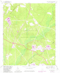
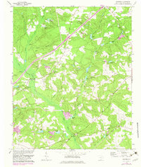
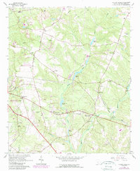
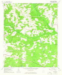
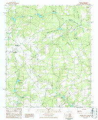
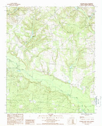
Editions of this 1965 New Ellenton SW Map
3 editions found
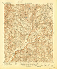
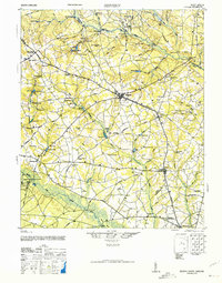
Historical Maps of Aiken County Through Time
18 maps found

1920 Talatha
Aiken County, SC
1921 Talatha
Aiken County, SC

1943 Talatha
Aiken County, SC
1944 Seivern
Aiken County, SC
1964 Aiken NW
Aiken County, SC
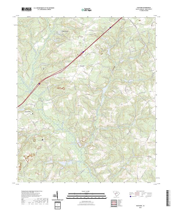
1964 Foxtown
Aiken County, SC
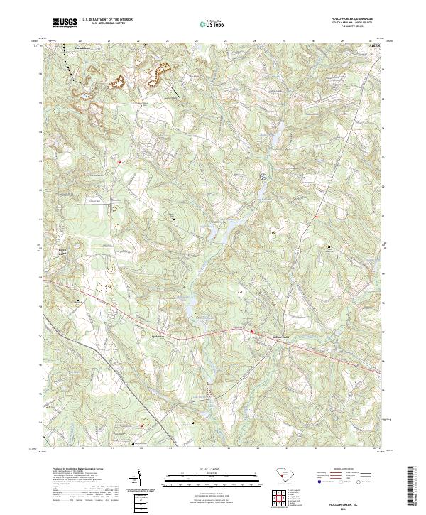
1964 Hollow Creek
Aiken County, SC
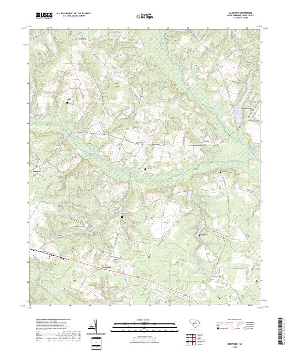
1964 Oakwood
Aiken County, SC
1965 New Ellenton SW
Aiken County, SC
1986 Seivern
Aiken County, SC
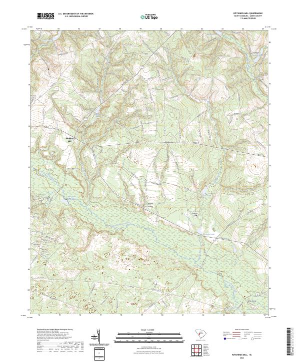
1988 Kitchings Mill
Aiken County, SC
2024 Aiken NW
Aiken County, SC
2024 Foxtown
Aiken County, SC
2024 Hollow Creek
Aiken County, SC
2024 Kitchings Mill
Aiken County, SC
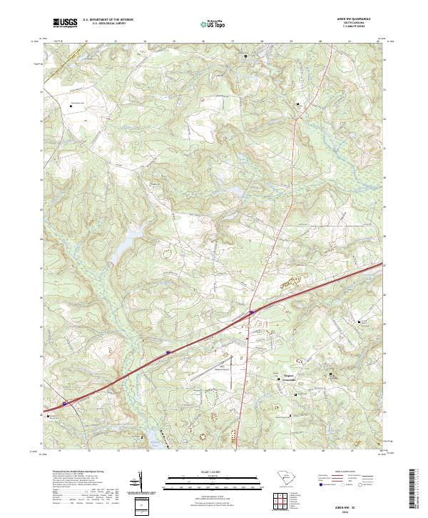
2024 New Ellenton SW
Aiken County, SC
2024 Oakwood
Aiken County, SC
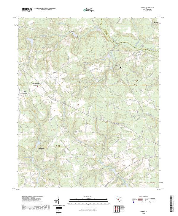
2024 Seivern
Aiken County, SC