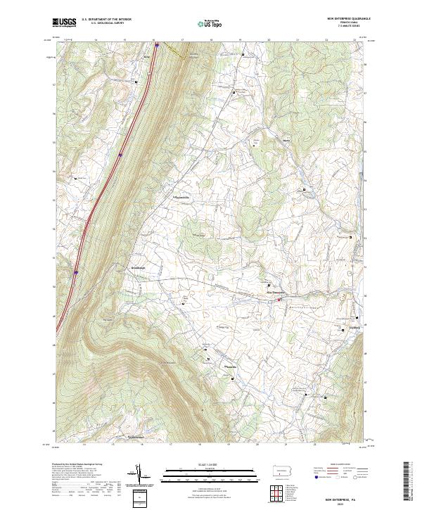
2023 Map of New Enterprise
USGS Topo · Published 2023About this map
Morrisons Cove anchors this corner of Bedford County, where the agricultural valley floor meets the steep ascent of Dunning Mountain and Evitts Mountain. The landscape is a dense network of local family history, marked by numerous small burial grounds such as the Rice Family Cem and Lyons Family Cem. These rural features are concentrated around established crossroads communities including New Enterprise, Salemville, and Loysburg, where Yellow Creek cuts through the ridges.
Find a feature on this map
86 named features on this map. Tap any name to fly to it.
Don’t see what you’re looking for? This feature index may not catch every label — zoom into the map to look around manually.
Map Details
Editions of this 2023 New Enterprise Map
This is the sole edition of this map. No revisions or reprints were ever made.
Other maps of this area

1900 · Everett
USGS Topo · 1:62,500

1902 · Everett
USGS Topo · 1:62,500

1902 · Ebensburg
USGS Topo · 1:62,500

1902 · Hollidaysburg
USGS Topo · 1:62,500

1903 · Hollidaysburg
USGS Topo · 1:62,500

1904 · Ebensburg
USGS Topo · 1:62,500

1908 · Bedford
USGS Topo · 1:62,500

1910 · Bedford
USGS Topo · 1:62,500

1953 · Pittsburgh
USGS Topo · 1:250,000

1954 · Pittsburgh
USGS Topo · 1:250,000
Featured Places
- King, Kimmel Township
- Greenfield Township, PA
- Kimmel Township, PA
- King Township, PA
- Bedford Township, PA