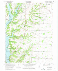
1974 Map of New Fairfield
USGS Topo · Published 1975About this map
Whitewater State Park and the expansive waters of Whitewater Lake dominate the western portion of this 1970s landscape, illustrating the significant impact of mid-century water management on the East Fork Whitewater River valley. The map documents a transition in local geography where the Fairfield Causeway and Dunlapsville Causeway span the rising waters, connecting remaining settlements like Dunlapsville and New Fairfield to the surrounding townships. Genealogists will find a wealth of burial records preserved across the terrain, from Old Bath Springs Cem near the Union and Franklin County line to Calvary Cem in the north. The presence of the Baltimore and Ohio railroad corridor near Lotus and the historic Contreras Pike suggests the older transportation networks that once defined this rural agricultural region before the reservoir's creation.
Find a feature on this map
46 named features on this map. Tap any name to fly to it.
Don’t see what you’re looking for? This feature index may not catch every label — zoom into the map to look around manually.
Map Details
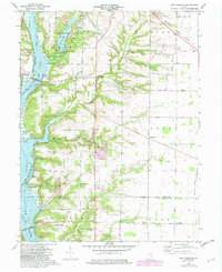
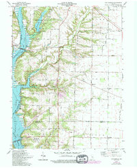
Editions of this 1974 New Fairfield Map
Other maps of this area

1915 · College Corner
USGS Topo · 1:48,000

1915 · Harrison
USGS Topo · 1:48,000

1918 · College Corner
USGS Topo · 1:62,500

1948 · Fairfield
USGS Topo · 1:24,000

1953 · Cincinnati
USGS Topo · 1:250,000

1955 · Reily
USGS Topo · 1:24,000

1955 · Mount Carmel
USGS Topo · 1:24,000

1956 · Everton
USGS Topo · 1:24,000

1956 · Brownsville
USGS Topo · 1:24,000

1956 · Brookville
USGS Topo · 1:24,000