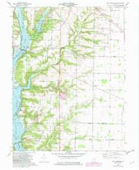
1974 Map of New Fairfield
USGS Topo · Published 1982About this map
Whitewater State Park and the expansive Brookville Lake dominate the landscape of the East Fork Whitewater River valley in this early 1980s revision. The map documents a territory in transition where modern recreation and water management intersect with long-standing rural settlements. The Fairfield Causeway provides a vital link across the water, connecting the area near New Fairfield to the surrounding townships. Local genealogy is well-represented through numerous burial sites and houses of worship, including Old Bath Springs Cem, Calvary Cem, and Old Franklin Ch. Infrastructure for the era is visible in the route of the Baltimore and Ohio railroad cutting through the northeast corner at Lotus, while the interior is marked by established farm roads like Contreras Pike and South Snowden Road.
Find a feature on this map
43 named features on this map. Tap any name to fly to it.
Don’t see what you’re looking for? This feature index may not catch every label — zoom into the map to look around manually.
Map Details
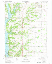
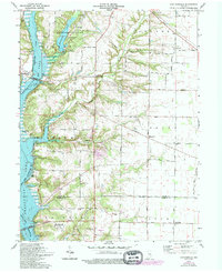
Editions of this 1974 New Fairfield Map
Other maps of this area

1915 · College Corner
USGS Topo · 1:48,000

1915 · Harrison
USGS Topo · 1:48,000

1918 · College Corner
USGS Topo · 1:62,500

1948 · Fairfield
USGS Topo · 1:24,000

1953 · Cincinnati
USGS Topo · 1:250,000

1955 · Reily
USGS Topo · 1:24,000

1955 · Mount Carmel
USGS Topo · 1:24,000

1956 · Everton
USGS Topo · 1:24,000

1956 · Brownsville
USGS Topo · 1:24,000

1956 · Brookville
USGS Topo · 1:24,000