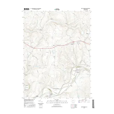
2016 Map of New Florence
USGS Topo · Published 2016About this map
Blacklick Creek and the Conemaugh River define the winding geography of this western Pennsylvania corridor, carving deep valleys through the ridge-and-valley landscape. The region’s industrial and transit legacy is visible in the alignment of settlements like New Florence, Seward, and Robinson, which sit tucked between the river banks and the ascending hillsides. Further north, the plateau is marked by small crossroads such as Armagh and Clyde, alongside numerous family-linked landmarks and spiritual sites including Saint Marys Cem and Bethel Cem.
Find a feature on this map
105 named features on this map. Tap any name to fly to it.
Don’t see what you’re looking for? This feature index may not catch every label — zoom into the map to look around manually.
Map Details
Editions of this 2016 New Florence Map
This is the sole edition of this map. No revisions or reprints were ever made.
Other maps of this area

1902 · Indiana
USGS Topo · 1:62,500

1902 · Barnesboro
USGS Topo · 1:62,500

1904 · Barnesboro
USGS Topo · 1:62,500

1904 · Johnstown
USGS Topo · 1:62,500

1907 · Johnstown
USGS Topo · 1:62,500

1920 · New Florence
USGS Topo · 1:62,500

1921 · New Florence
USGS Topo · 1:48,000

1922 · New Florence
USGS Topo · 1:62,500

1943 · Punxsutawney
USGS Topo · 1:125,000

1944 · New Florence
USGS Topo · 1:62,500