
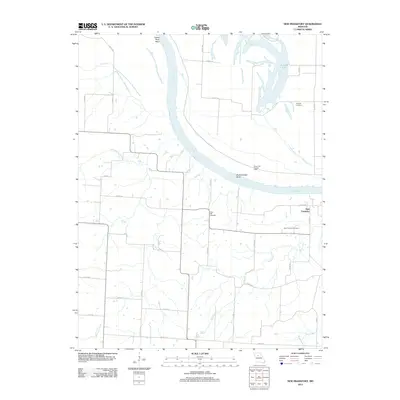
1951 Map of New Frankfort
USGS Topo · Published 1979About this map
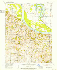
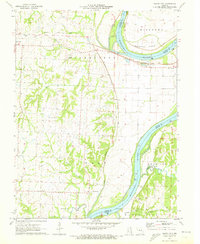
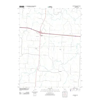
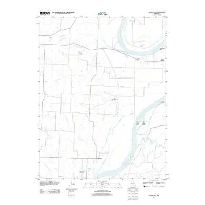
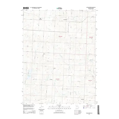
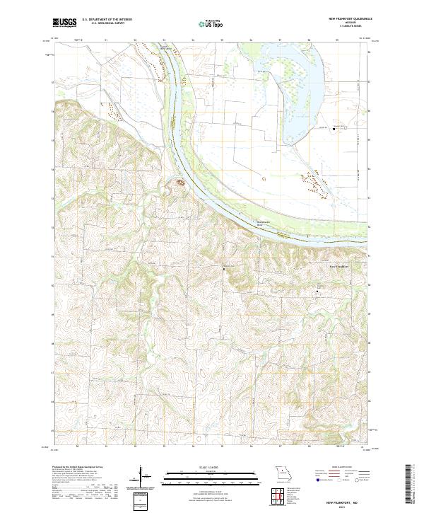
The Missouri River cuts a wide path through this Saline County landscape, defining the boundary between local townships and the adjacent Chariton County. The small settlement of New Frankfort serves as a focal point for the rural community, supported by a network of local institutions that includes the New Frankfort Cemetery and nearby Prospect Church. The land use is characterized by numerous country schools spaced for a pre-consolidation era, including Good Luck School, Garnett School, and Walker School.
Find a feature on this map
26 named features on this map. Tap any name to fly to it.
Don’t see what you’re looking for? This feature index may not catch every label — zoom into the map to look around manually.
Map Details
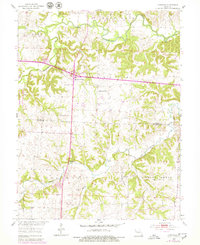
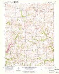
Editions of this 1951 New Frankfort Map
2 editions found
Historical Maps of New Frankfort Through Time
35 maps found
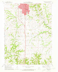
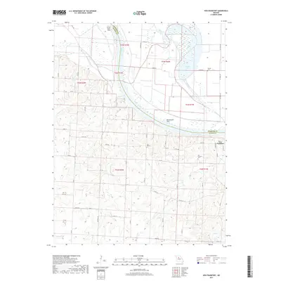
1951 New Frankfort
Saline County, MO
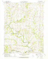
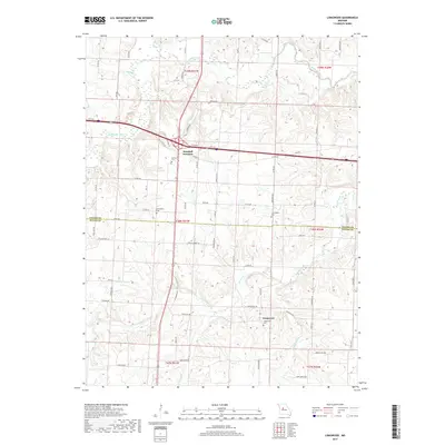
1953 Longwood
Saline County, MO
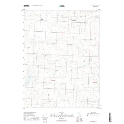
1953 Shackleford
Saline County, MO
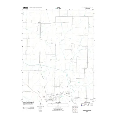
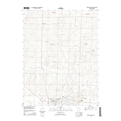
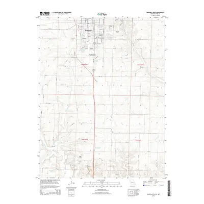
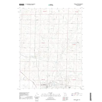
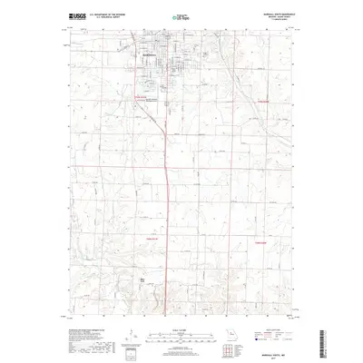
1971 Marshall North
Saline County, MO
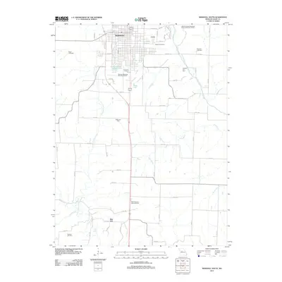
1971 Marshall South
Saline County, MO
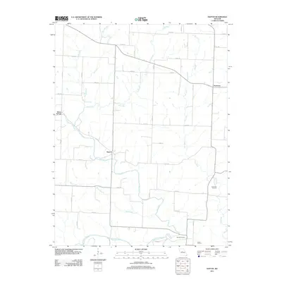
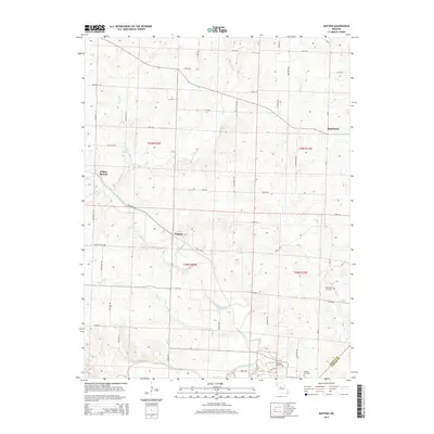
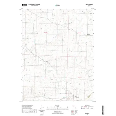
1971 Napton
Saline County, MO
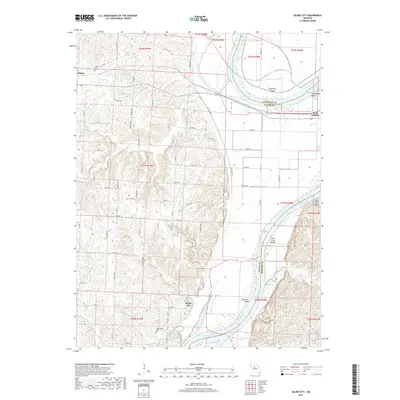
1971 Saline City
Saline County, MO
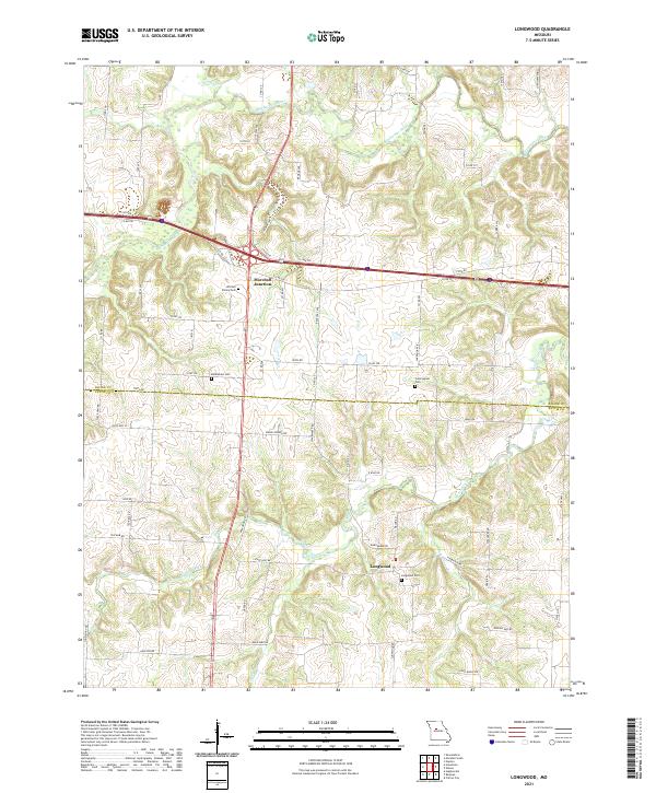
2011 Longwood
Saline County, MO
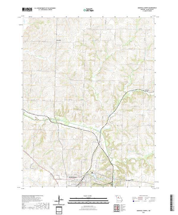
2012 Marshall North
Saline County, MO
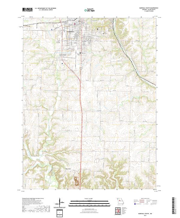
2012 Marshall South
Saline County, MO
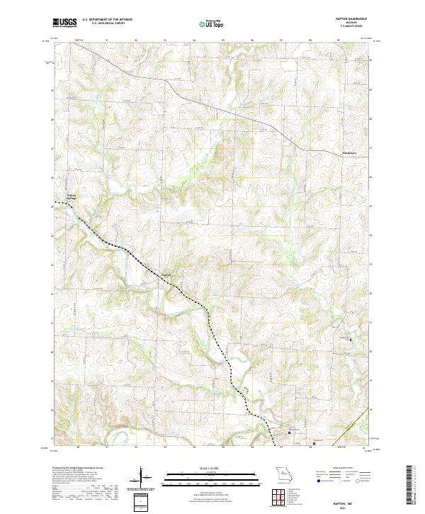
2012 Napton
Saline County, MO
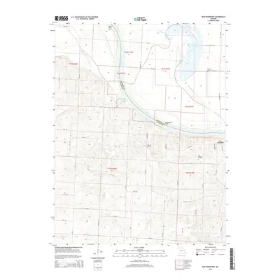
2012 New Frankfort
Saline County, MO
2012 Saline City
Saline County, MO
2012 Shackleford
Saline County, MO
2014 Longwood
Saline County, MO
2014 Saline City
Saline County, MO
2015 Marshall North
Saline County, MO
2015 Marshall South
Saline County, MO
2015 Napton
Saline County, MO
2015 New Frankfort
Saline County, MO
2015 Shackleford
Saline County, MO
2017 Longwood
Saline County, MO
2017 Marshall North
Saline County, MO
2017 Marshall South
Saline County, MO
2017 Napton
Saline County, MO
2017 New Frankfort
Saline County, MO
2017 Saline City
Saline County, MO
2017 Shackleford
Saline County, MO
2021 Longwood
Saline County, MO
2021 Marshall North
Saline County, MO
2021 Marshall South
Saline County, MO
2021 Napton
Saline County, MO
2021 New Frankfort
Saline County, MO
2021 Saline City
Saline County, MO
2021 Shackleford
Saline County, MO