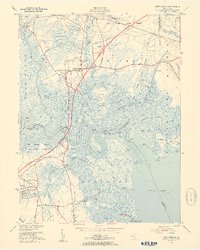
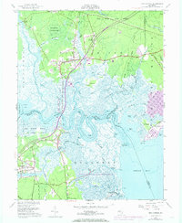
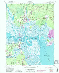
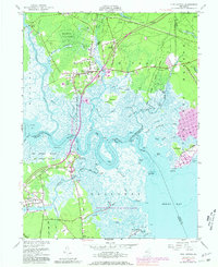
1951 Map of New Gretna
USGS Topo · Published 1954About this map
The tidal marshes and pine forests of the New Jersey coast are documented here during a period of significant infrastructure expansion. The Garden State Parkway is shown under construction, carving a new path through the landscape across the Mullica River and Nacote Creek. This modern arterial contrasts with the established local settlements of New Gretna and Port Republic, where traditional land use is represented by several Cranberry Bogs and small family burial grounds like the Hillside Cem and Miller Cem.
Find a feature on this map
65 named features on this map. Tap any name to fly to it.
Don’t see what you’re looking for? This feature index may not catch every label — zoom into the map to look around manually.
Map Details
Editions of this 1951 New Gretna Map
7 editions found
Other maps of this area

1887 · Atlantic City
USGS Topo · 1:62,500

1888 · Little Egg Harbor
USGS Topo · 1:62,500

1890 · Great Egg Harbor
USGS Topo · 1:62,500

1890 · Mullica
USGS Topo · 1:62,500

1893 · Great Egg Harbor
USGS Topo · 1:62,500

1893 · Little Egg Harbor
USGS Topo · 1:62,500

1894 · Atlantic City
USGS Topo · 1:62,500

1894 · Mullica
USGS Topo · 1:62,500

1898 · Mullica
USGS Topo · 1:62,500

1900 · Rancocas
USGS Topo · 1:125,000
Featured Places
- Galloway Township, NJ
- Little Egg Harbor Township, NJ
- Bass River Township, NJ
- Port Republic, NJ
- Washington Township, NJ