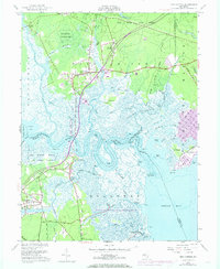
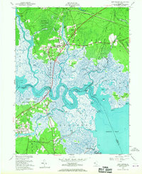
1951 Map of New Gretna
USGS Topo · Published 1973About this map
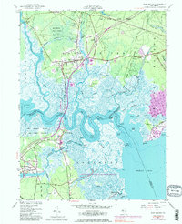
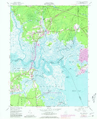
Bass River State Forest dominates the northern landscape of this coastal New Jersey quadrangle, where the Wading River and Bass River converge toward the Mullica River. The transition from upland pine forests to tidal salt marshes is marked by a complex network of waterways, including Mathis Thorofare, Ballanger Creek, and Nacote Creek. Small clusters of settlement at New Gretna and Port Republic serve as anchors for a region defined by its proximity to Little Egg Harbor and Great Bay.
Find a feature on this map
68 named features on this map. Tap any name to fly to it.
Don’t see what you’re looking for? This feature index may not catch every label — zoom into the map to look around manually.
Map Details
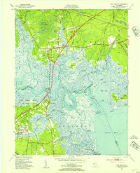
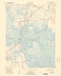
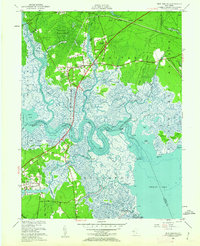
Editions of this 1951 New Gretna Map
7 editions found
Other maps of this area

1887 · Atlantic City
USGS Topo · 1:62,500

1888 · Little Egg Harbor
USGS Topo · 1:62,500

1890 · Great Egg Harbor
USGS Topo · 1:62,500

1890 · Mullica
USGS Topo · 1:62,500

1893 · Great Egg Harbor
USGS Topo · 1:62,500

1893 · Little Egg Harbor
USGS Topo · 1:62,500

1894 · Atlantic City
USGS Topo · 1:62,500

1894 · Mullica
USGS Topo · 1:62,500

1898 · Mullica
USGS Topo · 1:62,500

1900 · Rancocas
USGS Topo · 1:125,000
Featured Places
- Galloway Township, NJ
- Little Egg Harbor Township, NJ
- Bass River Township, NJ
- Port Republic, NJ
- Washington Township, NJ