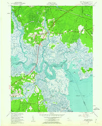
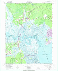
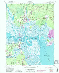
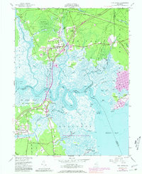
1951 Map of New Gretna
USGS Topo · Published 1962About this map
Bass River State Forest and the surrounding coastal lowlands define this survey of the New Jersey Pine Barrens and tidal marshes in the early 1950s. The settlement of New Gretna sits at a critical junction of land and water, where the Garden State Parkway is shown in its early alignment crossing the Mullica River. This era captures a landscape defined by traditional maritime and agricultural activities, evidenced by several Cranberry Bogs and the sprawling Brigantine National Wildlife Refuge protecting the salt marshes of Great Bay.
Find a feature on this map
59 named features on this map. Tap any name to fly to it.
Don’t see what you’re looking for? This feature index may not catch every label — zoom into the map to look around manually.
Map Details
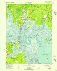
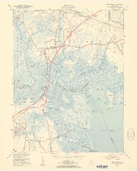
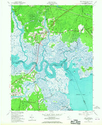
Editions of this 1951 New Gretna Map
7 editions found
Other maps of this area

1887 · Atlantic City
USGS Topo · 1:62,500

1888 · Little Egg Harbor
USGS Topo · 1:62,500

1890 · Great Egg Harbor
USGS Topo · 1:62,500

1890 · Mullica
USGS Topo · 1:62,500

1893 · Great Egg Harbor
USGS Topo · 1:62,500

1893 · Little Egg Harbor
USGS Topo · 1:62,500

1894 · Atlantic City
USGS Topo · 1:62,500

1894 · Mullica
USGS Topo · 1:62,500

1898 · Mullica
USGS Topo · 1:62,500

1900 · Rancocas
USGS Topo · 1:125,000
Featured Places
- Galloway Township, NJ
- Little Egg Harbor Township, NJ
- Bass River Township, NJ
- Port Republic, NJ
- Washington Township, NJ