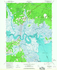
1951 Map of New Gretna
USGS Topo · Published 1967About this map
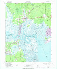
The confluence of the Wading River and the Mullica River dominates this coastal landscape, where the tides of Great Bay meet the sprawling woodlands of the Bass River State Forest. This mid-century survey captures the region just as the Garden State Parkway began to bisect the ancient salt marshes and timberlands. For historians, the map preserves the location of the Chestnut Neck Battle Monument, marking a significant Revolutionary War engagement site overlooking Collins Cove. The settlement pattern reflects a maritime and forest-based economy, with New Gretna and Port Republic serving as primary hubs, while smaller locales like Leektown and landmarks such as the St Pauls Ch and Hillside Cem provide essential data points for genealogical research. The intricate network of tidal channels, including Nacote Creek and Mott Creek, illustrates the complex geography of the Brigantine National Wildlife Refuge before modern coastal development altered the shoreline.
Find a feature on this map
60 named features on this map. Tap any name to fly to it.
Don’t see what you’re looking for? This feature index may not catch every label — zoom into the map to look around manually.
Map Details
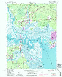
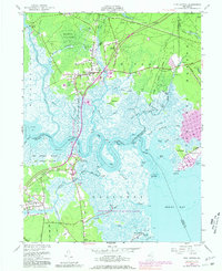
Editions of this 1951 New Gretna Map
7 editions found
Other maps of this area

1887 · Atlantic City
USGS Topo · 1:62,500

1888 · Little Egg Harbor
USGS Topo · 1:62,500

1890 · Great Egg Harbor
USGS Topo · 1:62,500

1890 · Mullica
USGS Topo · 1:62,500

1893 · Great Egg Harbor
USGS Topo · 1:62,500

1893 · Little Egg Harbor
USGS Topo · 1:62,500

1894 · Atlantic City
USGS Topo · 1:62,500

1894 · Mullica
USGS Topo · 1:62,500

1898 · Mullica
USGS Topo · 1:62,500

1900 · Rancocas
USGS Topo · 1:125,000
Featured Places
- Galloway Township, NJ
- Little Egg Harbor Township, NJ
- Bass River Township, NJ
- Port Republic, NJ
- Washington Township, NJ