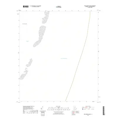
2018 Map of New Harbor Islands
USGS Topo · Published 2018About this map
New Harbor Islands fragment across the open waters of the Chandeleur Sound in this Saint Bernard Parish coastal survey. The map depicts several small landmasses and shoals that form part of the barrier island chain protecting the Louisiana coast from the Gulf of Mexico. These low-lying features are critical markers for maritime navigation and coastal history in the region. Because the map focuses on the dynamic interface between the sound and the gulf, it captures a landscape defined entirely by water and shifting sediment rather than permanent terrestrial infrastructure or settlements. It serves as a focused look at the remote reaches of the parish's maritime territory.
Find a feature on this map
3 named features on this map. Tap any name to fly to it.
Don’t see what you’re looking for? This feature index may not catch every label — zoom into the map to look around manually.
Map Details
Editions of this 2018 New Harbor Islands Map
This is the sole edition of this map. No revisions or reprints were ever made.
Other maps of this area

1951 · North Islands
USGS Topo · 1:24,000

1951 · New Harbor Islands
USGS Topo · 1:24,000
1951 · Stake Islands
USGS Topo · 1:24,000

1957 · Breton Sound
USGS Topo · 1:250,000

1961 · Breton Sound
USGS Topo · 1:250,000

1982 · North Islands
USGS Topo · 1:100,000
1998 · New Harbor Islands
USGS Topo · 1:24,000
1998 · North Islands
USGS Topo · 1:24,000
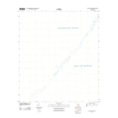
2012 · Curlew Islands
USGS Topo · 1:24,000
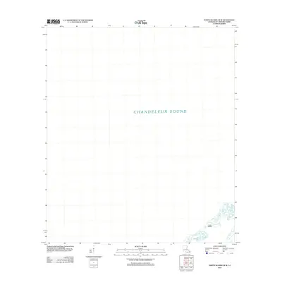
2012 · North Islands OE W
USGS Topo · 1:24,000