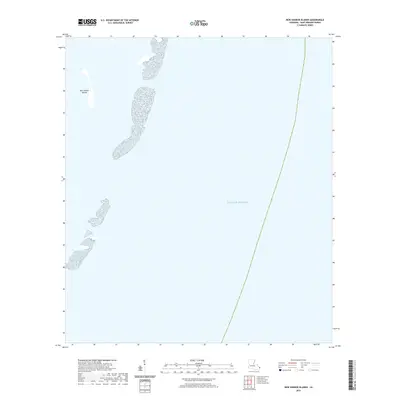
2020 Map of New Harbor Islands
USGS Topo · Published 2020About this map
New Harbor Islands sit at the eastern reaches of Saint Bernard Parish, marking a delicate boundary between the sheltered sound and the open Gulf of Mexico. This coastal landscape, documented as it stood in 2020, shows a series of disconnected landmasses and sandbars. The isolation of these features reflects the shifting nature of the Louisiana shoreline, where small islands are often the only markers for maritime navigation and habitat preservation in a landscape defined by water. With no roads or structures present, the area remains an untouched marine environment where the bathymetry and changing shapes of the land are the primary focus for researchers and local historians.
Find a feature on this map
2 named features on this map. Tap any name to fly to it.
Don’t see what you’re looking for? This feature index may not catch every label — zoom into the map to look around manually.
Map Details
Editions of this 2020 New Harbor Islands Map
This is the sole edition of this map. No revisions or reprints were ever made.
Other maps of this area

1951 · North Islands
USGS Topo · 1:24,000

1951 · New Harbor Islands
USGS Topo · 1:24,000
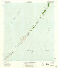
1951 · Stake Islands
USGS Topo · 1:24,000

1957 · Breton Sound
USGS Topo · 1:250,000

1961 · Breton Sound
USGS Topo · 1:250,000

1982 · North Islands
USGS Topo · 1:100,000
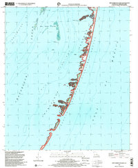
1998 · New Harbor Islands
USGS Topo · 1:24,000
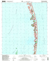
1998 · North Islands
USGS Topo · 1:24,000
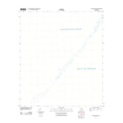
2012 · Curlew Islands
USGS Topo · 1:24,000
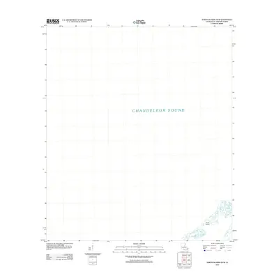
2012 · North Islands OE W
USGS Topo · 1:24,000